Login

Forgot your login?

Cookies have to be accepted!
Your browser's cookie functionality is disabled. Please enable this functionality.

Not a member yet?

Register now
Login

Available for registred users only

Log in to use this feature.

Forgot your login?

Cookies have to be accepted!
Your browser's cookie functionality is disabled. Please enable this functionality.

Not a member yet?

Register now
Filter
Categories
Advanced filters
  • Distance (km)
  • Height
Save filters Reset filter

TrackRank

QRCode

Technical data

Distance5,0 km Height385 m Way down372 m Duration02:15 h:m Date28.08.2011
Scores Author Landscape Fun factor Fitness Technique

Statistics

504 Views Scores 18 Downloads Average
Rate
  • Track data sheet
  • Directions
  • Downloads
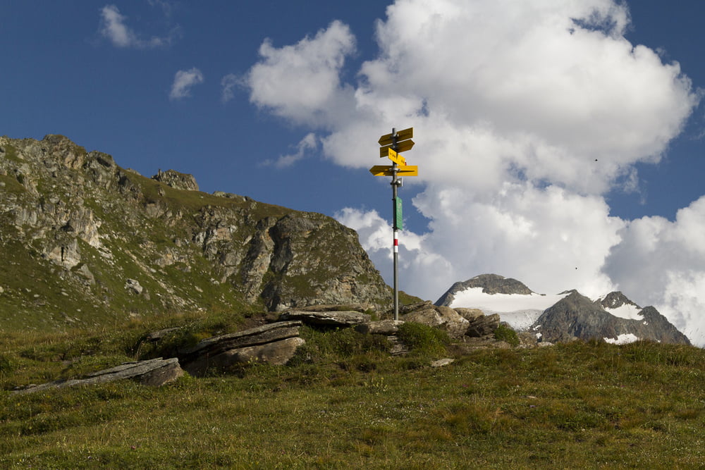
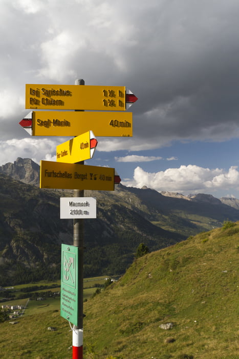
Gleich rechts vom Friedrich Nietzsches Wohnhaus geht ein Wanderweg hinauf. Einfach den wenigen Schildern Richtung Marmorè folgen.

Tour gallery

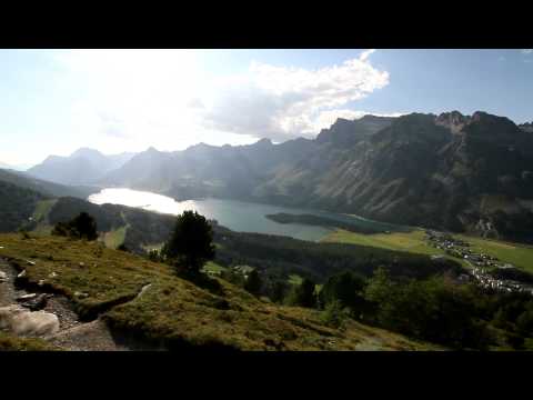
Tour map and elevation profile

  • Open Street Map
  • Google
Minimum height 1857 m Maximum height 2253 m Detailed view

More about the tour author

Helix78
Member since 2011

Send private message

Comments

Ortszentrum von Sils-Maria

GPS tracks

Trackpoints
  • GPX / Garmin Map Source (gpx) download
  • TCX / Garmin Training Center® (tcx) download
  • CRS / Garmin Training Center® (crs) download
  • Google Earth (kml) download
  • G7ToWin (g7t) download
  • TTQV (trk) download
  • Overlay (ovl) download
  • Fugawi (txt) download
  • Kompass (DAV) Track (tk) download
  • Track data sheet (pdf) download
  • Original file of the author (gpx) download

More about the tour author

Helix78
Member since 2011

Send private message
Share track
Add to my favorites
Remove from my favorites
Edit tags
My score
Rate
Track: Von Sils-Maria auf Marmorè
Type: Mountain hiking
Distance: 5,0 km
Evaluated on:
Duration:
Day(s)
Hour(s)
Minute(s)
Score: Landscape Fun factor Fitness Technique