Login

Forgot your login?

Cookies have to be accepted!
Your browser's cookie functionality is disabled. Please enable this functionality.

Not a member yet?

Register now
Login

Available for registred users only

Log in to use this feature.

Forgot your login?

Cookies have to be accepted!
Your browser's cookie functionality is disabled. Please enable this functionality.

Not a member yet?

Register now
Filter
Categories
Advanced filters
  • Distance (km)
  • Height
Save filters Reset filter

TrackRank

QRCode

Technical data

Distance11,4 km Height802 m Way down768 m Duration05:00 h:m Date28.08.2011
Scores Author Landscape Fun factor Fitness Technique

Statistics

612 Views Scores 20 Downloads Average
Rate
  • Track data sheet
  • Directions
  • Downloads

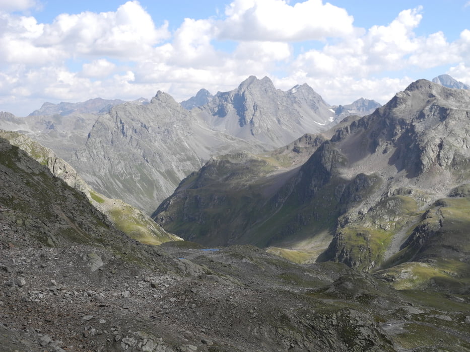
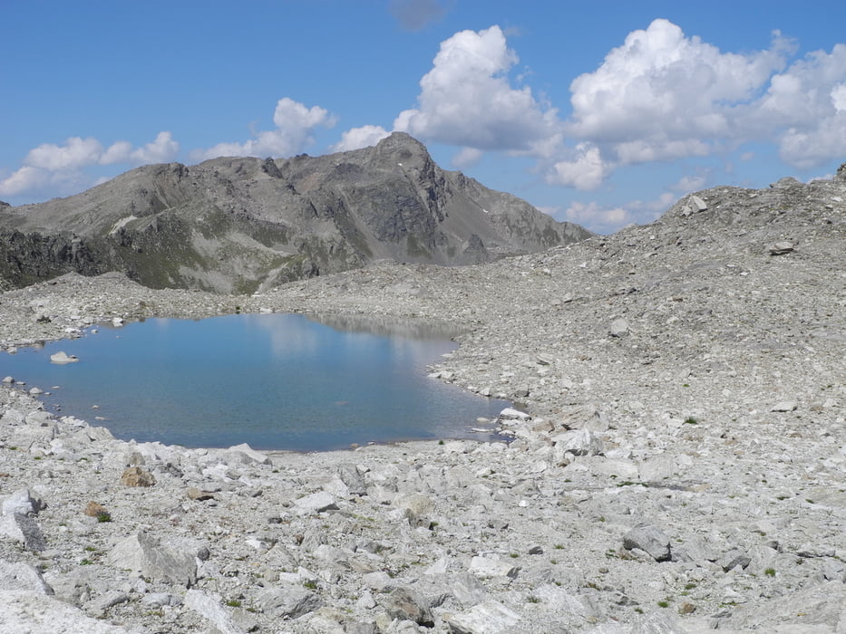
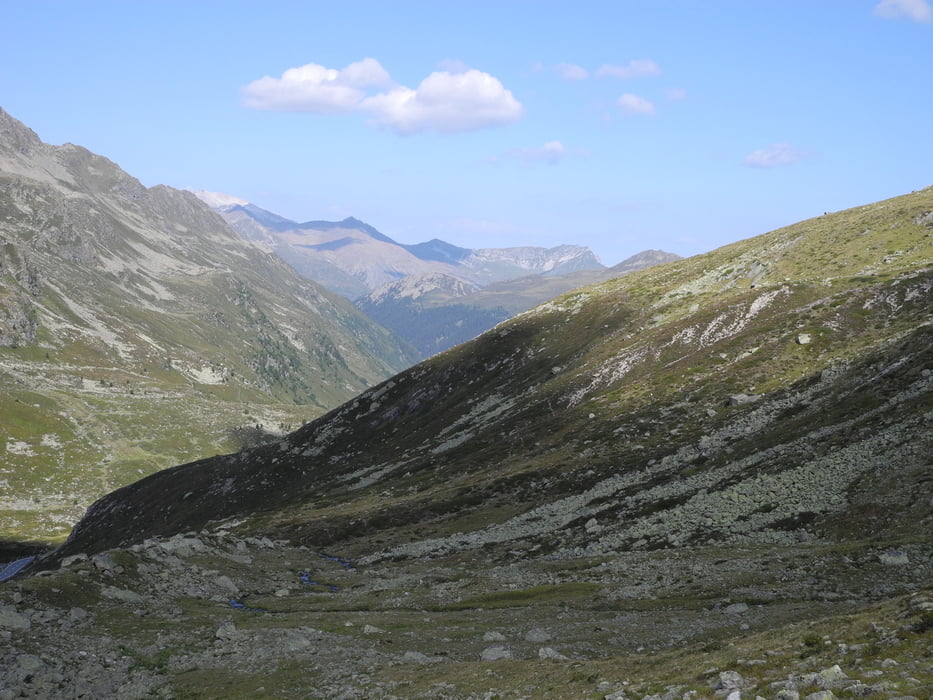
Oft begangene schöne Wanderung von Wägerhus (am Flüelapass) zu den tollen Jösiseen. Alles auf guten und gut markierten Wegen.

Nach der Jöriflüelafurgga kurze steile passage mit einem Seil gesichert.

Bei der Winterlücke könnte noch recht lange Schnee liegen.

Tour gallery

Tour map and elevation profile

  • Open Street Map
  • Google
Minimum height 2186 m Maximum height 2779 m Detailed view

More about the tour author

gerosa
Member since 2009

Send private message

Comments

GPS tracks

Trackpoints
  • GPX / Garmin Map Source (gpx) download
  • TCX / Garmin Training Center® (tcx) download
  • CRS / Garmin Training Center® (crs) download
  • Google Earth (kml) download
  • G7ToWin (g7t) download
  • TTQV (trk) download
  • Overlay (ovl) download
  • Fugawi (txt) download
  • Kompass (DAV) Track (tk) download
  • Track data sheet (pdf) download
  • Original file of the author (gpx) download

More about the tour author

gerosa
Member since 2009

Send private message
Share track
Add to my favorites
Remove from my favorites
Edit tags
My score
Rate
Track: Jöriseen
Type: Hiking
Distance: 11,4 km
Evaluated on:
Duration:
Day(s)
Hour(s)
Minute(s)
Score: Landscape Fun factor Fitness Technique