


Diese Tour ist für jedermann gut fahrbar und führt von der Stadtgrenze Solingen/Leichlingen immer entlang der Wupper bis zur Mündung in den Rhein. Von dort geht es am Rhein entlang noch ein Stück weiter zur Fähre in Hitdorf. Hier lädt ein schöner Biergarten ein, bevor es nun wieder entlang der Wupper zurück geht, jetzt aber auf der anderen Seite.
Es wurden möglichst wenig Straßen gewählt, sofern das bei der dichten Bebauung möglich ist. Der Streckenverlauf führt meistens über Forstwege. Ein paar Radwege sind auch dabei, der Anteil an Singletrails ist gering.
Insgesamt eine entspannte Tour zum Rhein und zurück mit einem Stop im Biergarten.
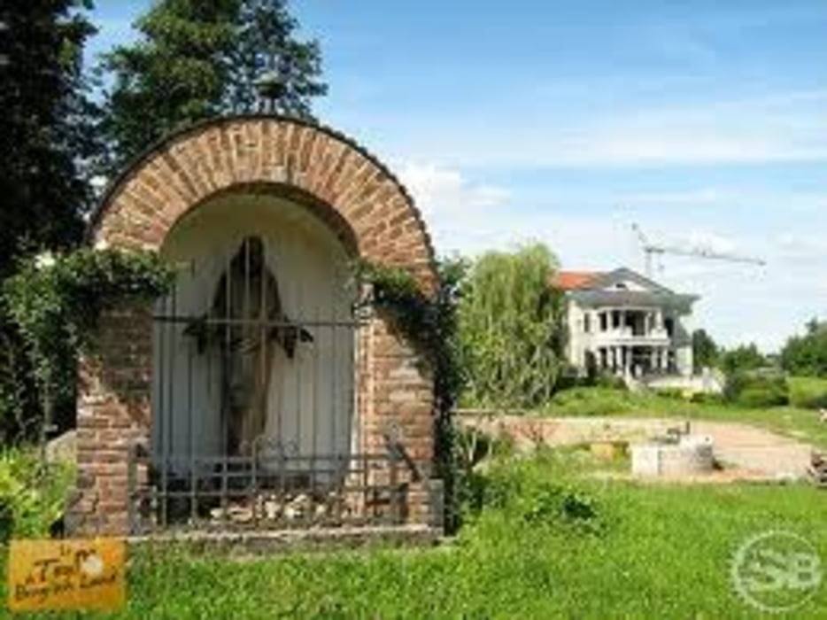
Tour gallery


Tour map and elevation profile
Minimum height 30 m
Maximum height 110 m
More about the tour author
|
|
Oldskoolbiker |
Comments

GPS tracks
Trackpoints-
GPX / Garmin Map Source (gpx) download
-
TCX / Garmin Training Center® (tcx) download
-
CRS / Garmin Training Center® (crs) download
-
Google Earth (kml) download
-
G7ToWin (g7t) download
-
TTQV (trk) download
-
Overlay (ovl) download
-
Fugawi (txt) download
-
Kompass (DAV) Track (tk) download
-
Track data sheet (pdf) download
-
Original file of the author (gpx) download
More about the tour author
|
|
Oldskoolbiker |
Add to my favorites
Remove from my favorites
Edit tags
Open track
My score
Rate