


Date: August 1, 2011
Start: 2508 m (Wangenitzseehütte)
Finish: 1905 m (Winklerner Hütte)
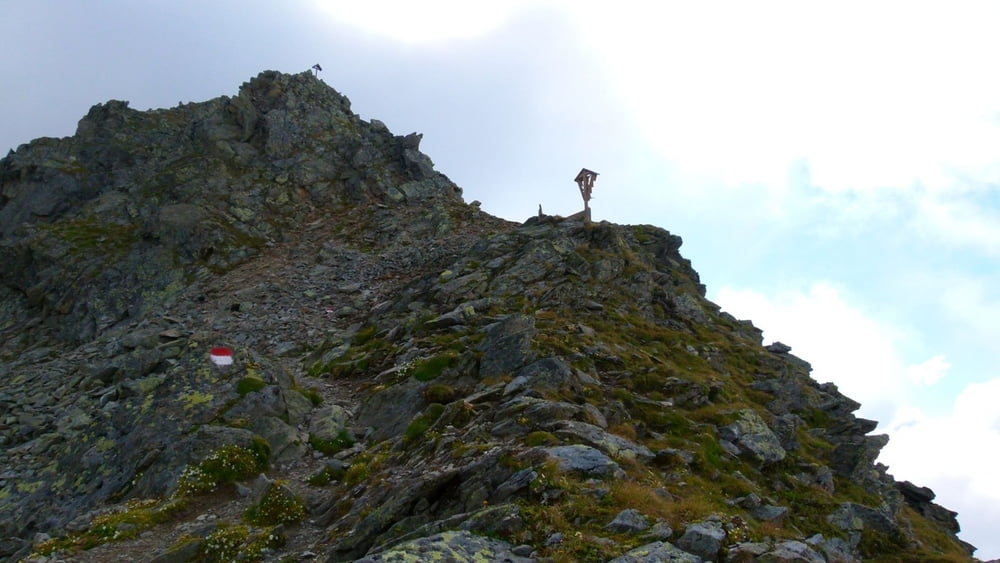
Highest point: 2603 m (Obere Seescharte)
Lowest point: 1905 m (Winklerner Hütte)
Total ascent: 215 m
Total descent: 856 m
**************************
Do not take anything, do not leave anything!
**************************
Please, do NOT leave trash behind. Paper tissues are also trash! Chocolate wrap as well. Bring a small trash bag with you and take your trash with yourself to the next trash can. It is not that heavy.
**************************
Further information at
https://picasaweb.google.com/beatahardi/2010073008013NaposHutteTura?authuser=0&feat=directlinkTour gallery


Tour map and elevation profile
Minimum height 1836 m
Maximum height 2599 m
More about the tour author
|
|
beepee |
Comments

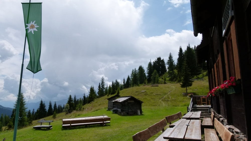
Places where you can eat and drink:
Wangenitzseehütte
Raneralmhütte
Winklerner Hütte
Route:
1. from Wangenitzseehütte follow the signs towards Winklerner Hütte
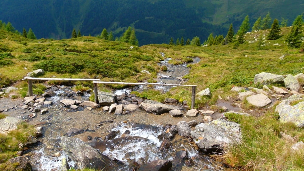
2. walk on the trail between the two lakes, parallel to the lift cables
3. at a crossing, turn left, following the shape of Wangenitzsee
4. walk towards Obere Seescharte (high point with a cross)
5. from Obere Seescharte, walk further along the path towards Winklerner Hütte
6. when you reach Raneralmhütte, walk another 15 minutes on the marked trail towards Winklerner Hütte
Make sure to bring plenty of water!!!
**************************
Do not take anything, do not leave anything!
**************************
Please, do NOT leave trash behind. Paper tissues are also trash! Chocolate wrap as well. Bring a small trash bag with you and take your trash with yourself to the next trash can. It is not that heavy.
**************************
GPS tracks
Trackpoints-
GPX / Garmin Map Source (gpx) download
-
TCX / Garmin Training Center® (tcx) download
-
CRS / Garmin Training Center® (crs) download
-
Google Earth (kml) download
-
G7ToWin (g7t) download
-
TTQV (trk) download
-
Overlay (ovl) download
-
Fugawi (txt) download
-
Kompass (DAV) Track (tk) download
-
Track data sheet (pdf) download
-
Original file of the author (gpx) download
More about the tour author
|
|
beepee |
Add to my favorites
Remove from my favorites
Edit tags
Open track
My score
Rate