


Date: August 5, 2011
Start: 2507 m (Hochtor)
Finish: 1120 m (Heiligenblut - Rojach)
Highest point: 2671 m (shortly before Weissenbachscharte)
Lowest point: 1120 m
Total ascent: 383 m
Total descent: 1677 m
Information about the Grossglockner Hochalpenstrasse:
http://www.grossglockner.at/
**************************
Do not take anything, do not leave anything!
**************************
Please, do NOT leave trash behind. Paper tissues are also trash! Chocolate wrap as well. Bring a small trash bag with you and take your trash with yourself to the next trash can. It is not that heavy.
**************************
Further information at
https://picasaweb.google.com/beatahardi/2011080107HeiligenblutNyaralas?authuser=0&feat=directlinkTour gallery
Tour map and elevation profile
Minimum height 1120 m
Maximum height 2671 m
More about the tour author
|
|
beepee |
Comments

Places where you can eat and drink:
Hochtor
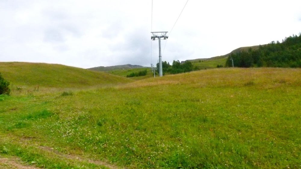
Fleisskuchl (Hütte by the Fleiss ski area)
Route:
1. park you car in Heiligenblut, take the bus to Hochtor, it leaves at 9:00 AM)
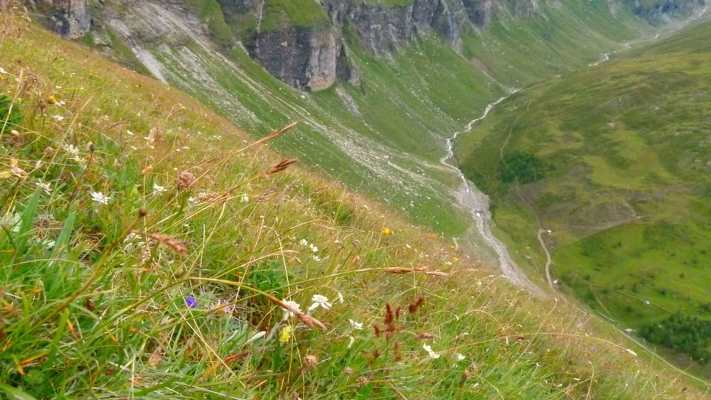
2. at Hochtor, cross the street (careful!!) then walk up, follow the signs towards Tauernkopf/Schareck. Beautiful views all around on the surrounding mountains and the Glocknerstrasse!
3. at crossings, walk towards Sonnblick
4. at Weissenbachscharte, turn right towards Heiligenblut into a beautiful green 'valley'
5. follow signs towards Fleisstal
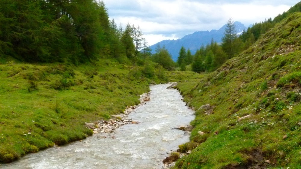
6. when you reach the dirt road follow it towards Heiligenblut
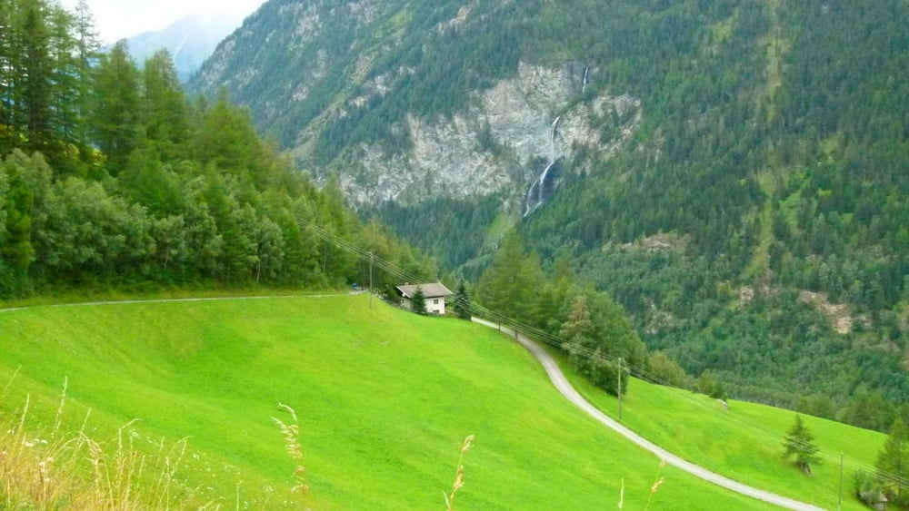
7. after the gold wash place, follow signs towards Rojach, walk down the paved (in sections unpaved) road to Rojach
**************************
Do not take anything, do not leave anything!
**************************
Please, do NOT leave trash behind. Paper tissues are also trash! Chocolate wrap as well. Bring a small trash bag with you and take your trash with yourself to the next trash can. It is not that heavy.
**************************
GPS tracks
Trackpoints-
GPX / Garmin Map Source (gpx) download
-
TCX / Garmin Training Center® (tcx) download
-
CRS / Garmin Training Center® (crs) download
-
Google Earth (kml) download
-
G7ToWin (g7t) download
-
TTQV (trk) download
-
Overlay (ovl) download
-
Fugawi (txt) download
-
Kompass (DAV) Track (tk) download
-
Track data sheet (pdf) download
-
Original file of the author (gpx) download
More about the tour author
|
|
beepee |
Add to my favorites
Remove from my favorites
Edit tags
Open track
My score
Rate