


Der erste Abschnitt des Inn-Radweges startet eigentlich am Malojapass auf einer Seehöhe von 1815 Höhenmeter. Unsere Tour starteten wir allerdings erst ab St.Moritz.
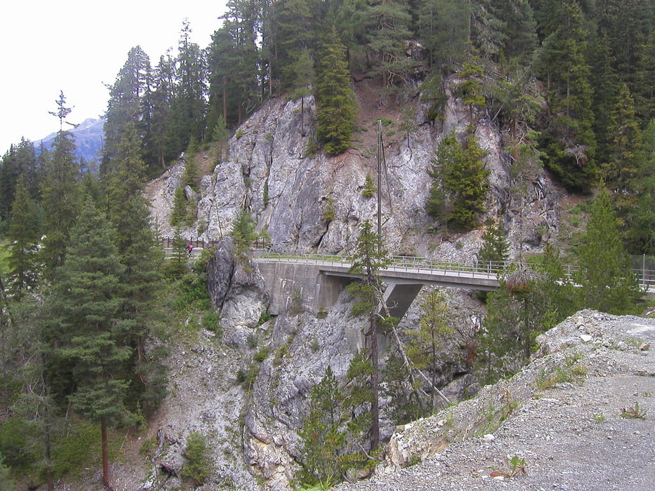
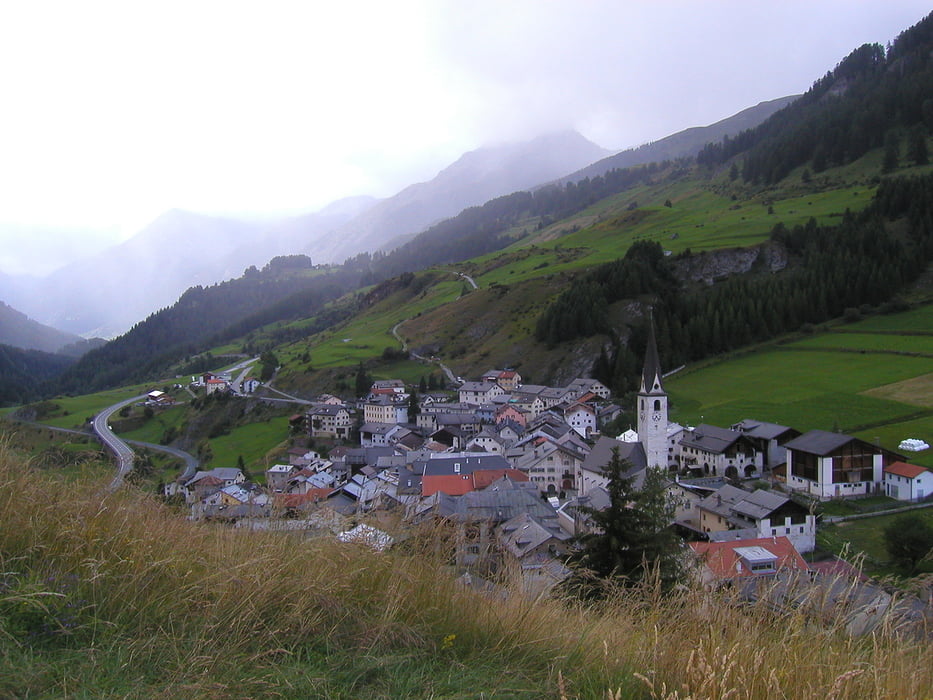
Ab St.Moritz gibt es dann einige Steigungen zu bewältigen, auf teils unbefestigten Waldwegen, aber auch auf asphaltierten Agrarwegen oder Bergstrassen. Malerische kleine Orschaften liegen auf der Strecke.
Tour gallery
Tour map and elevation profile
Minimum height 1382 m
Maximum height 1809 m
More about the tour author

|
berheivb |
Comments

Mit der Bahn von Freiburg - Chur (Eurocity)
u. von Chur - St.Moritz mit der Rhätischen Bahn
GPS tracks
Trackpoints-
GPX / Garmin Map Source (gpx) download
-
TCX / Garmin Training Center® (tcx) download
-
CRS / Garmin Training Center® (crs) download
-
Google Earth (kml) download
-
G7ToWin (g7t) download
-
TTQV (trk) download
-
Overlay (ovl) download
-
Fugawi (txt) download
-
Kompass (DAV) Track (tk) download
-
Track data sheet (pdf) download
-
Original file of the author (gpx) download
More about the tour author
|
|
berheivb |
Add to my favorites
Remove from my favorites
Edit tags
Open track
My score
Rate