

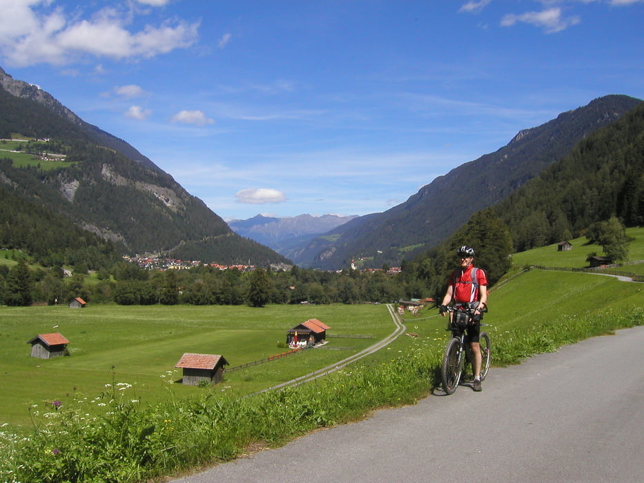
Der Inn ist hier noch "jung und wild", ein richtiger Gebirgsfluss mit seiner typischen grünen Farbe vom Gletscherwasser.
Die Radroute verläuft immer in der Nähe des Flusses, denn in diesem engen Tal gibt es keine Möglichkeit auszuweichen. Links und rechts steigen die Felswände und Berghänge auf und geben so dem Inntal einen ganz eigentümlichen Charakter. Man spürt hier auf eindrucksvolle Weise die Macht der Natur und dass wir ihren Launen ausgeliefert sind.
Tour gallery

Tour map and elevation profile
Minimum height 801 m
Maximum height 1631 m
More about the tour author

|
berheivb |
Comments

GPS tracks
Trackpoints-
GPX / Garmin Map Source (gpx) download
-
TCX / Garmin Training Center® (tcx) download
-
CRS / Garmin Training Center® (crs) download
-
Google Earth (kml) download
-
G7ToWin (g7t) download
-
TTQV (trk) download
-
Overlay (ovl) download
-
Fugawi (txt) download
-
Kompass (DAV) Track (tk) download
-
Track data sheet (pdf) download
-
Original file of the author (gpx) download
More about the tour author
|
|
berheivb |
Add to my favorites
Remove from my favorites
Edit tags
Open track
My score
Rate