


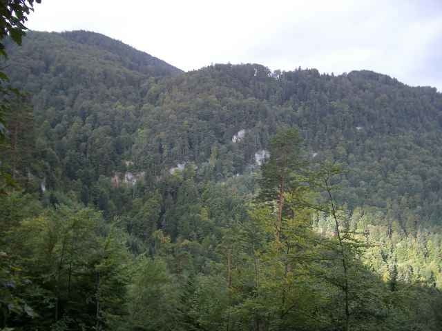
Der Start der Route befindet sich bei der Talstation der Gondelbahn in Reigoldswil (BL). Bevor man sich auf die Route stürzt sollte ein kleines Einfahrtraining absolviert werden, denn schon nach den ersten Metern beginnt die Strasse sehr steil zu steigen. Nach zirka vierzig Minuten Fahrzeit erreicht man die Bergstation der Gondelbahn in Wasserfallen. Die Fahrt bis dahin ist meistens im Wald und führt sogar durch eine kleinen Tunnel.
Further information at
http://www.wasserfallenbahn.chTour gallery
Tour map and elevation profile
Minimum height 544 m
Maximum height 906 m
More about the tour author

|
huwuerth |
Comments

Man verlässt die Autobahn A2 (Zürich - Basel) bei Liestal. Die Weiterfahrt geht durch Liestal Richtung Bubendorf und weiter nach Reigoldwil. Bei der Talstation der Gondelbahn befindet sich ein Parkplatz
GPS tracks
Trackpoints-
GPX / Garmin Map Source (gpx) download
-
TCX / Garmin Training Center® (tcx) download
-
CRS / Garmin Training Center® (crs) download
-
Google Earth (kml) download
-
G7ToWin (g7t) download
-
TTQV (trk) download
-
Overlay (ovl) download
-
Fugawi (txt) download
-
Kompass (DAV) Track (tk) download
-
Track data sheet (pdf) download
-
Original file of the author (g7t) download
More about the tour author
|
|
huwuerth |
Add to my favorites
Remove from my favorites
Edit tags
Open track
My score
Rate