

Knackige Auffahrt. Schieben auf dem letzten Stück bis zum Gipel.
Geniale Trails mit Absätzen, Northshore-Elementen, vielen Spitzkehren und Wurzeln.
Zwischendrin ist ab & zu wieder bergauf treten angesagt.
Gute Fahrtechnik, einigermaßen Federweg & Scheibenbremsen sind Vorraussetzung.
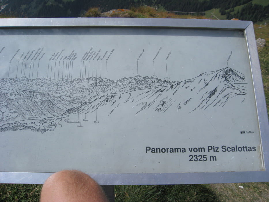
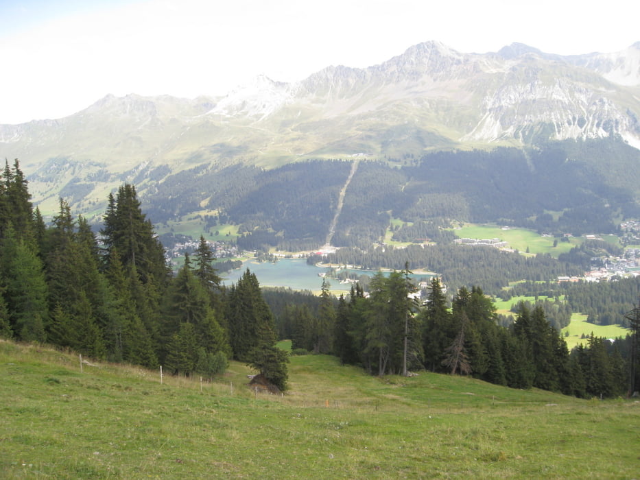
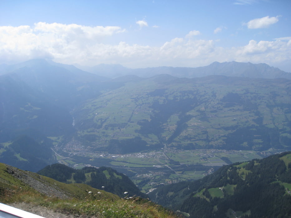
Tolle Aussicht und ´ne Menge Fahrspaß sind garantiert.
Den Rückweg zur Lenzerheide haben wir mit dem Bus von Churwalden aus genommen (7,50 SFR / Person + Rad).
Tour gallery
Tour map and elevation profile
Minimum height 1272 m
Maximum height 2323 m
More about the tour author
|
|
Weissferdl |
Comments

GPS tracks
Trackpoints-
GPX / Garmin Map Source (gpx) download
-
TCX / Garmin Training Center® (tcx) download
-
CRS / Garmin Training Center® (crs) download
-
Google Earth (kml) download
-
G7ToWin (g7t) download
-
TTQV (trk) download
-
Overlay (ovl) download
-
Fugawi (txt) download
-
Kompass (DAV) Track (tk) download
-
Track data sheet (pdf) download
-
Original file of the author (gpx) download
More about the tour author
|
|
Weissferdl |
Add to my favorites
Remove from my favorites
Edit tags
Open track
My score
Rate