


Eine fast perfekte Mountainbike Bergtour
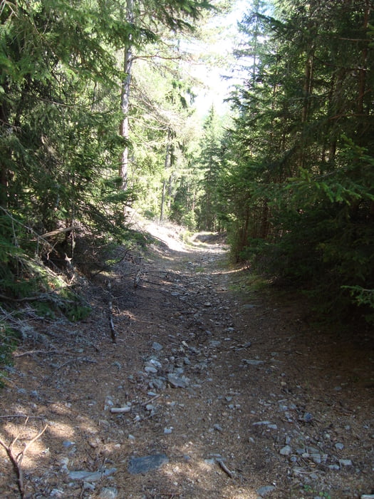
Die Auffahrt ist einfach. Anfangs auf Güterweg, später auf Forststraße geht es nie richtig steil bergan. Es ist immer leicht zu fahren, so dass man die tolle Aussicht genießen kann. Die Abfahrt erfolgt im oberen Teil über Almwege dann auf Wanderwegen, die durchwegs befahrbar sind. Nur der untere Teil ist wirklich steil, so dass der eine oder andere einmal ein Stück schieben muss.
Man sollte aber schon Freude an der Herausforderung haben, ansonsten ist es besser, über den Aufstiegsweg abzufahren.
Tour gallery

Tour map and elevation profile
Minimum height 760 m
Maximum height 1863 m
More about the tour author

|
Zoechi |
Comments

GPS tracks
Trackpoints-
GPX / Garmin Map Source (gpx) download
-
TCX / Garmin Training Center® (tcx) download
-
CRS / Garmin Training Center® (crs) download
-
Google Earth (kml) download
-
G7ToWin (g7t) download
-
TTQV (trk) download
-
Overlay (ovl) download
-
Fugawi (txt) download
-
Kompass (DAV) Track (tk) download
-
Track data sheet (pdf) download
-
Original file of the author (gpx) download
More about the tour author
|
|
Zoechi |
Add to my favorites
Remove from my favorites
Edit tags
Open track
My score
Rate