

Start am kleinen Parkplatz vor der Schranke und auf Schotter rauf zum Markirchl.(Das ist die Grenze zwischen Tirol und Salzburger Land) Weiter gehts einen Trail wieder nach unten zur Neuen Bambergerhütte.Kuchen ist sehr lecker :-) . Beim Zurückfahren kann man kurz nach dem Markirchl den leicht zu fahrenden Trail zur Salzachalm nehmen.Viel Spass!
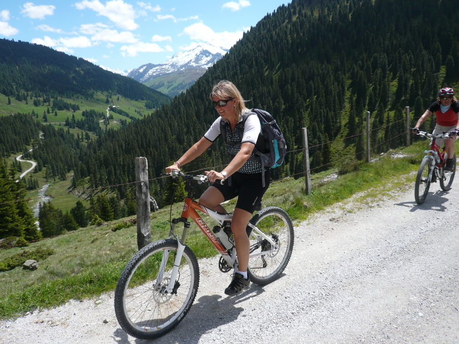
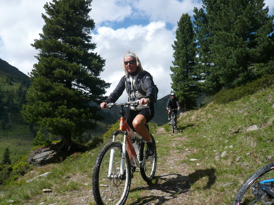
Tour gallery
Tour map and elevation profile
Minimum height 1402 m
Maximum height 1926 m
More about the tour author

|
linkpeter |
Comments

Von Königsleiten die alte Passstrasse runter nach Wald nach ca.5km links (Park möglichkeit vor der schranke)zum Salzachgeier und Markirchl.
GPS tracks
Trackpoints-
GPX / Garmin Map Source (gpx) download
-
TCX / Garmin Training Center® (tcx) download
-
CRS / Garmin Training Center® (crs) download
-
Google Earth (kml) download
-
G7ToWin (g7t) download
-
TTQV (trk) download
-
Overlay (ovl) download
-
Fugawi (txt) download
-
Kompass (DAV) Track (tk) download
-
Track data sheet (pdf) download
-
Original file of the author (gpx) download
More about the tour author
|
|
linkpeter |
Add to my favorites
Remove from my favorites
Edit tags
Open track
My score
Rate