


Drei Zinnen
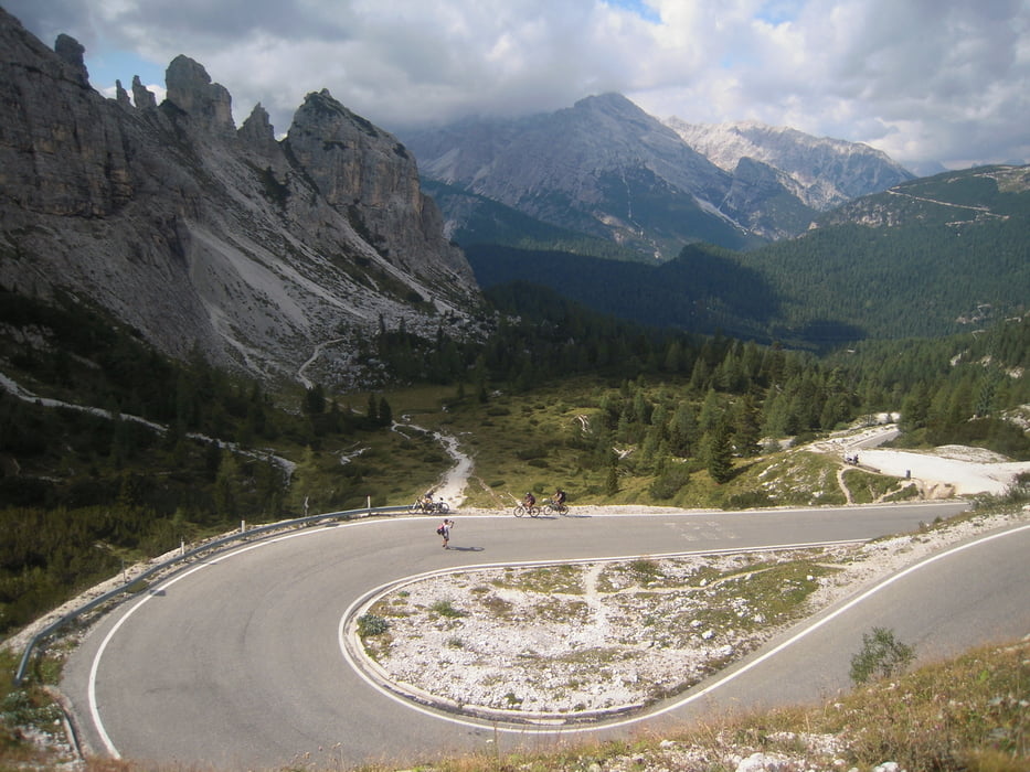
Start und Ziel ist Cortina d Ampezzo was den Vorteil hatte das wir mit leichtem Gebäck fahren konnten. Von Cortina geht es gleich steil auf Asphalt rauf zum Misurrinasee. Vom See geht eine Mautstrasse (für Radfahrer frei) steil und stetig Bergauf zum Rif.Auronzo (2300m).
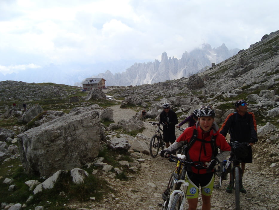
Die Drei Zinnen sind wohl ein beliebtes Ausflugsziel da sehr viele Menschen um die Zinnen herumwanderten. Wir fünf Mountenbiker mischten uns unter die Leute und fuhren oder schoben die Bikes rundherum, es war eine gewaltige Bergkollisse die man sehen muss.
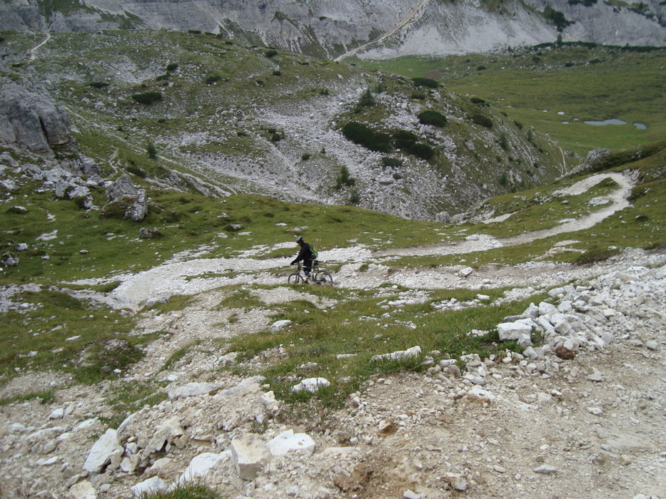
Zuerst einige Zeit abwärts schieben dafür dann eine sehr lange und einer der schönsten Trails der ganzen 6 Tage runter zum Landosee. Noch eine lange Asphaltabfahrt zurück nach Cortina.
mehr Bilder: seppdepp.heim.at
Tour gallery

Tour map and elevation profile
Minimum height 1202 m
Maximum height 2458 m
More about the tour author
|
|
Atzbach |
Comments

GPS tracks
Trackpoints-
GPX / Garmin Map Source (gpx) download
-
TCX / Garmin Training Center® (tcx) download
-
CRS / Garmin Training Center® (crs) download
-
Google Earth (kml) download
-
G7ToWin (g7t) download
-
TTQV (trk) download
-
Overlay (ovl) download
-
Fugawi (txt) download
-
Kompass (DAV) Track (tk) download
-
Track data sheet (pdf) download
-
Original file of the author (gpx) download
More about the tour author
|
|
Atzbach |
Add to my favorites
Remove from my favorites
Edit tags
Open track
My score
Rate