


Cortina d Ampezzo - St.Vigil
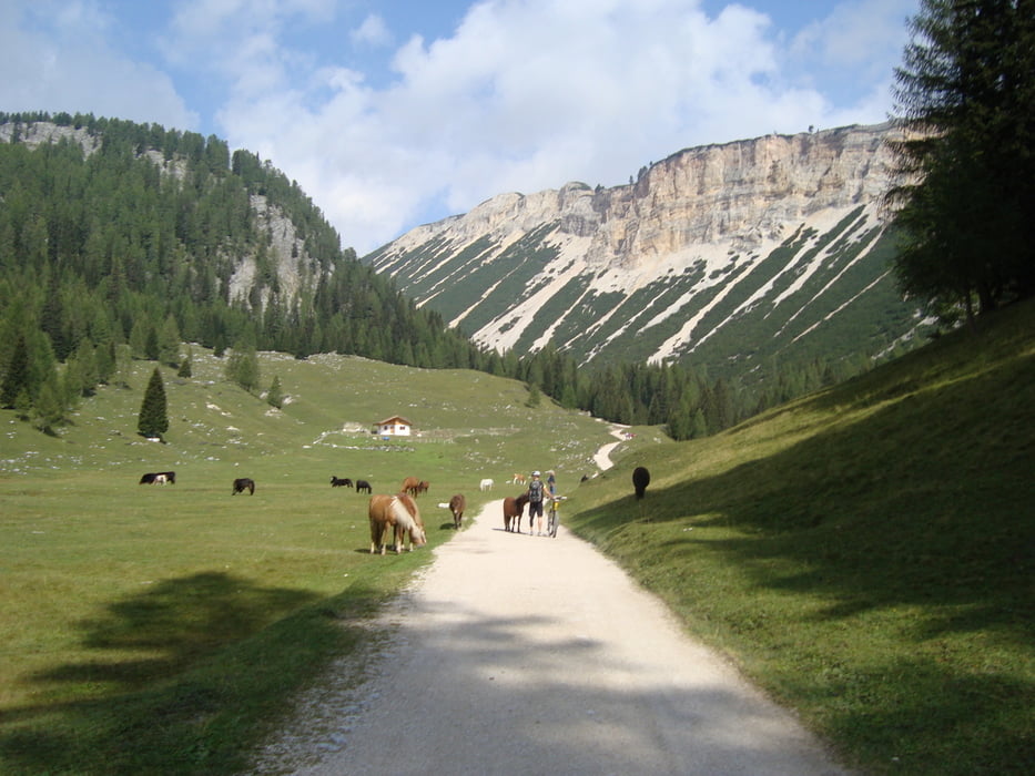
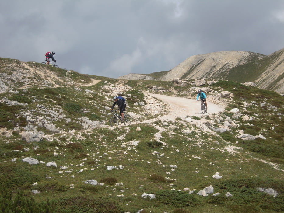
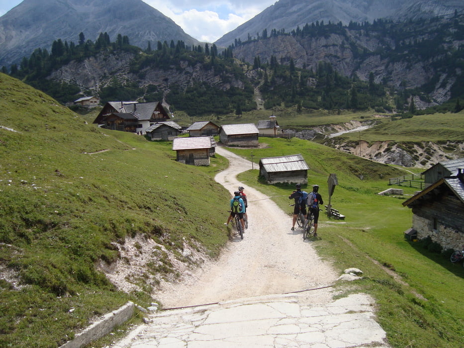
Auf kleinen Forst und Asphaltstrassen geht es teilweise sehr steil rauf zur Sennesalm (2126m). Sehr schönes Almgebiet mit vielen Kühen und Pferden. Weiter zur Alm Vedla (1966) und steile Abfahrt auf Schotter nach Pederü. Ein Wanderweg geht neben der Strasse nach St.Vigil den wir ca.20min. gefahren sind und auf rücksicht unserer Räder wieder auf Asphalt ausgewichen sind. Der ist eine Zeit lang lässig zu fahren aber mit der Zeit sind eine Million Wurzeln einfach zuviel und wir brauchten unsere Dämpfer noch für unsere letzte Tour.
mehr Bilder: seppdepp.heim.at
Tour gallery

Tour map and elevation profile
Minimum height 1205 m
Maximum height 2150 m
More about the tour author
|
|
Atzbach |
Comments

GPS tracks
Trackpoints-
GPX / Garmin Map Source (gpx) download
-
TCX / Garmin Training Center® (tcx) download
-
CRS / Garmin Training Center® (crs) download
-
Google Earth (kml) download
-
G7ToWin (g7t) download
-
TTQV (trk) download
-
Overlay (ovl) download
-
Fugawi (txt) download
-
Kompass (DAV) Track (tk) download
-
Track data sheet (pdf) download
-
Original file of the author (gpx) download
More about the tour author
|
|
Atzbach |
Add to my favorites
Remove from my favorites
Edit tags
Open track
My score
Rate