


Von Ossiach über Altfinkenstein am Faaker See zur Berta-Hütte und nach langer Abfahrt an der Drau entlang wieder nach Ossiach.
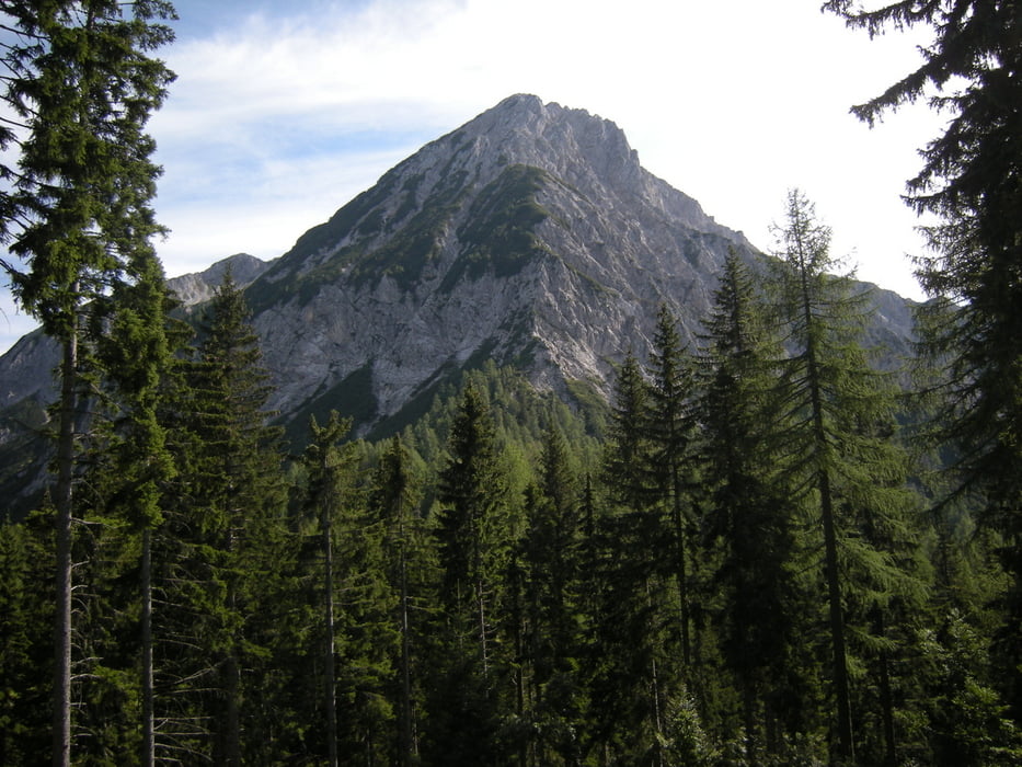
Diese Tour steht ganz im Zeichen des Mittagskogel.
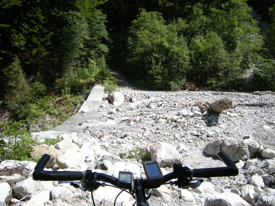
Einige Singeltrailabschnitte. Auffahrt zur Bertahütte sehr steil und grobschotterig, also recht anstrengend! Auch wer teilweise schiebt kommt oben an ;-)
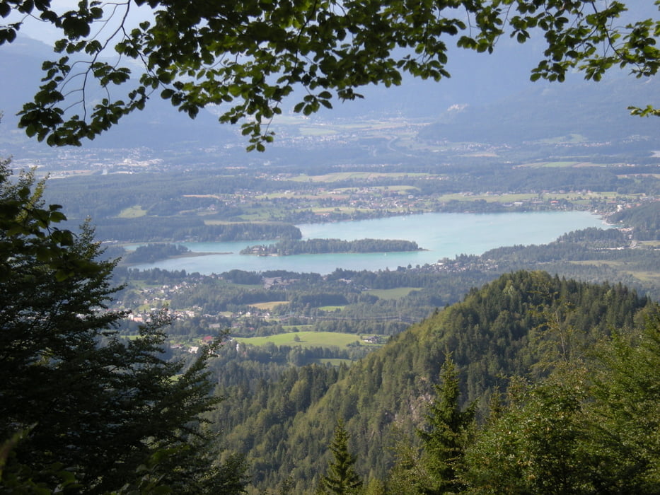
Alles in allem eine konditionell sehr anstrengende aber geniale Tour durch abwechslungsreiche Landschaft!
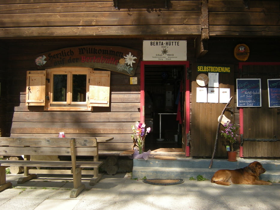
Die Berthütte ist bewirtschaftet.
Tour gallery
Tour map and elevation profile
Minimum height 491 m
Maximum height 1535 m
More about the tour author

|
hotchillyred |
Comments

GPS tracks
Trackpoints-
GPX / Garmin Map Source (gpx) download
-
TCX / Garmin Training Center® (tcx) download
-
CRS / Garmin Training Center® (crs) download
-
Google Earth (kml) download
-
G7ToWin (g7t) download
-
TTQV (trk) download
-
Overlay (ovl) download
-
Fugawi (txt) download
-
Kompass (DAV) Track (tk) download
-
Track data sheet (pdf) download
-
Original file of the author (gpx) download
More about the tour author
|
|
hotchillyred |
Add to my favorites
Remove from my favorites
Edit tags
Open track
My score
Rate