Login

Forgot your login?

Cookies have to be accepted!
Your browser's cookie functionality is disabled. Please enable this functionality.

Not a member yet?

Register now
Login

Available for registred users only

Log in to use this feature.

Forgot your login?

Cookies have to be accepted!
Your browser's cookie functionality is disabled. Please enable this functionality.

Not a member yet?

Register now
Filter
Categories
Advanced filters
  • Distance (km)
  • Height
Save filters Reset filter

TrackRank

QRCode

Technical data

Distance14,5 km Height782 m Way down765 m Duration04:00 h:m Date05.09.2011
Scores Author User Landscape Fun factor Fitness Technique

Statistics

560 Views 2 Scores 39 Downloads 4.50 Average
Rate
  • Track data sheet
  • Directions
  • Downloads

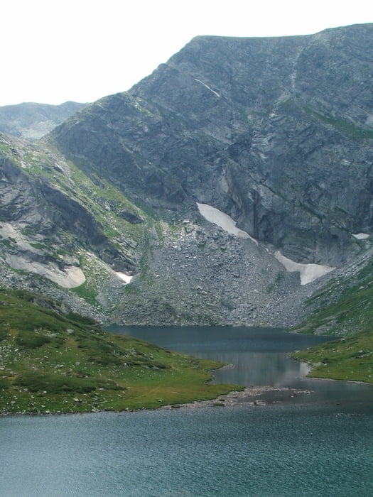
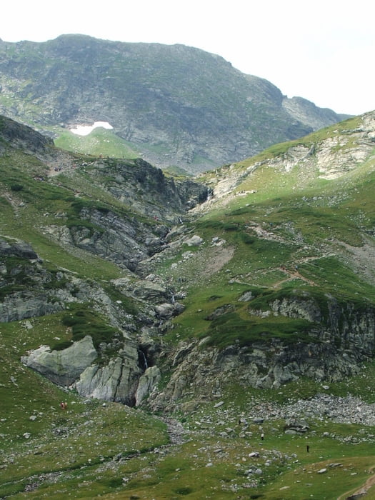
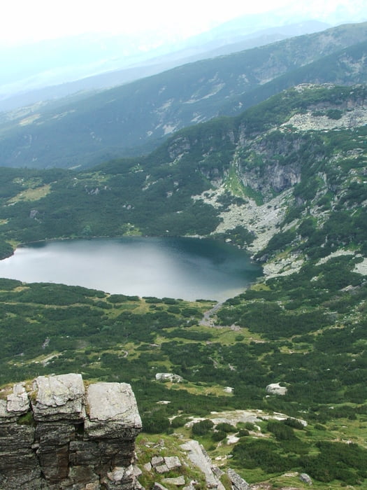
Pionerska - Tal der sieben Seen - Hütte Rilski Ezera - Pionerska


Tour gallery

Tour map and elevation profile

  • Open Street Map
  • Google
Minimum height 1598 m Maximum height 2353 m Detailed view

More about the tour author

lothardomnik
Member since 2009

Send private message

Comments

Rum2014 on 05.08.2019

Schöne Tour

Dies ist wohl die beliebteste Tour im Rila-Gebirge. Mit dem Lift kommen besonders am Wochenende viele Leute auf diese Strecke. Zugegeben, sie ist mit Blick auf die Seen und die hohen Gipfel auch schön.
von Samokov oder Dupnitsa über Sapareva Banya, dann südöstlich bis zum Sessellift

GPS tracks

Trackpoints
  • GPX / Garmin Map Source (gpx) download
  • TCX / Garmin Training Center® (tcx) download
  • CRS / Garmin Training Center® (crs) download
  • Google Earth (kml) download
  • G7ToWin (g7t) download
  • TTQV (trk) download
  • Overlay (ovl) download
  • Fugawi (txt) download
  • Kompass (DAV) Track (tk) download
  • Track data sheet (pdf) download
  • Original file of the author (gpx) download

More about the tour author

lothardomnik
Member since 2009

Send private message
Share track
Add to my favorites
Remove from my favorites
Edit tags
My score
Rate
Track: Bulgarien: Rila-Gebirge (2)
Type: Mountain hiking
Distance: 14,5 km
Evaluated on:
Duration:
Day(s)
Hour(s)
Minute(s)
Score: Landscape Fun factor Fitness Technique