


Date: September 4, 2011
Start: 1535 m (Hotel Hochegger)
Finish: 1535 m (Hotel Hochegger)
Highest point: 1790 m (near Hohenwart)
Lowest point: 1535 m (Hotel Hochegger)
Total ascent: 430 m
Total descent: 430 m
Information about the area:
http://www.klippitz.at/
**************************
Do not take anything, do not leave anything!
**************************
Please, do NOT leave trash behind. Paper tissues are also trash! Chocolate wrap as well. Bring a small trash bag with you and take your trash with yourself to the next trash can. It is not that heavy.
**************************
Further information at
https://picasaweb.google.com/beatahardi/2011090304Klippitz?authuser=0&authkey=Gv1sRgCJztoPm838v8sgE&feat=directlinkTour gallery
Tour map and elevation profile
Minimum height 1465 m
Maximum height 1790 m
More about the tour author
|
|
beepee |
Comments

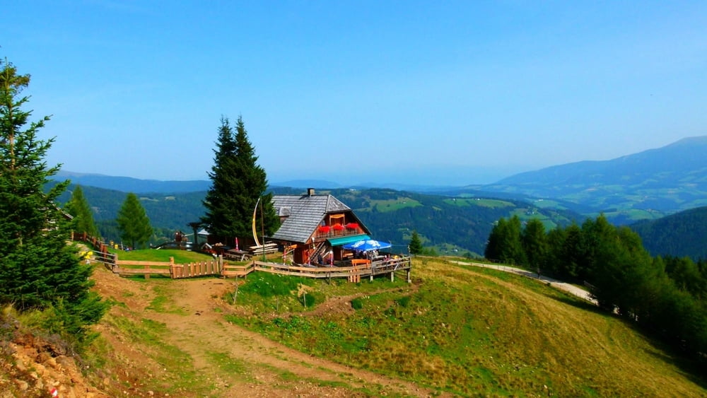
Places where you can eat and drink:
Hotel Hochegger
Grünhütte
Moselebauerhütte
Route:
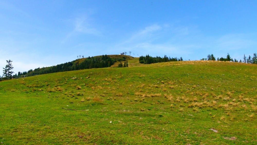
1. go behind Hotel Hochegger by the lift station
2. go right towards the hiking signs
3. follow the route nr.1 towards Hohenwart
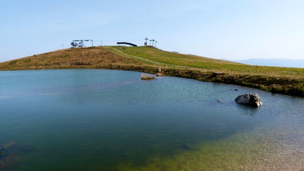
4. when you reach the 'lake' at the top of the mountain, follow the trail leading from the lift top station on the left side of the lake
5. follow the sign toward Grünhütte
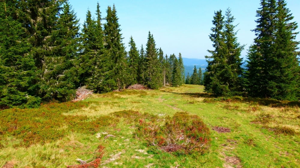
6. at Grünhütte, follow the dirt road, you can also follow the 'snowshoe' road
7. walk towards Moselebauerhütte
8. follow the 'snowshoe' road towards Schwarzkogelhütte
9. at Schwarzkogelhütte, turn right and walk back to Hotel Hochegger
**************************
Do not take anything, do not leave anything!
**************************
Please, do NOT leave trash behind. Paper tissues are also trash! Chocolate wrap as well. Bring a small trash bag with you and take your trash with yourself to the next trash can. It is not that heavy.
**************************
GPS tracks
Trackpoints-
GPX / Garmin Map Source (gpx) download
-
TCX / Garmin Training Center® (tcx) download
-
CRS / Garmin Training Center® (crs) download
-
Google Earth (kml) download
-
G7ToWin (g7t) download
-
TTQV (trk) download
-
Overlay (ovl) download
-
Fugawi (txt) download
-
Kompass (DAV) Track (tk) download
-
Track data sheet (pdf) download
-
Original file of the author (gpx) download
More about the tour author
|
|
beepee |
Add to my favorites
Remove from my favorites
Edit tags
Open track
My score
Rate