Login

Forgot your login?

Cookies have to be accepted!
Your browser's cookie functionality is disabled. Please enable this functionality.

Not a member yet?

Register now
Login

Available for registred users only

Log in to use this feature.

Forgot your login?

Cookies have to be accepted!
Your browser's cookie functionality is disabled. Please enable this functionality.

Not a member yet?

Register now
Filter
Categories
Advanced filters
  • Distance (km)
  • Height
Save filters Reset filter

TrackRank

QRCode

Technical data

Distance477,5 km Height12555 m Way down11673 m Duration8 days 0 h Date08.09.2011
Scores Author User Landscape Fun factor Fitness Technique

Statistics

781 Views 1 Score 104 Downloads 5.00 Average
Rate
  • Track data sheet
  • Directions
  • Downloads
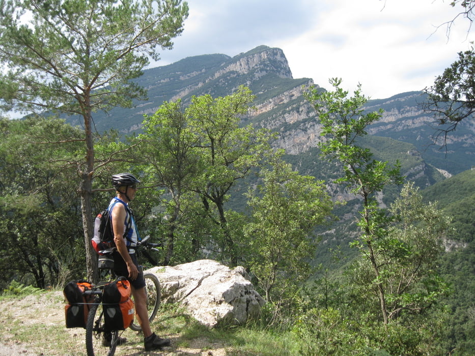
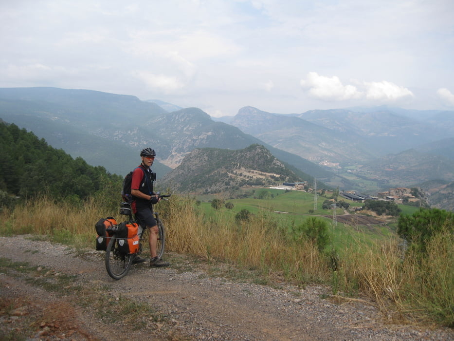
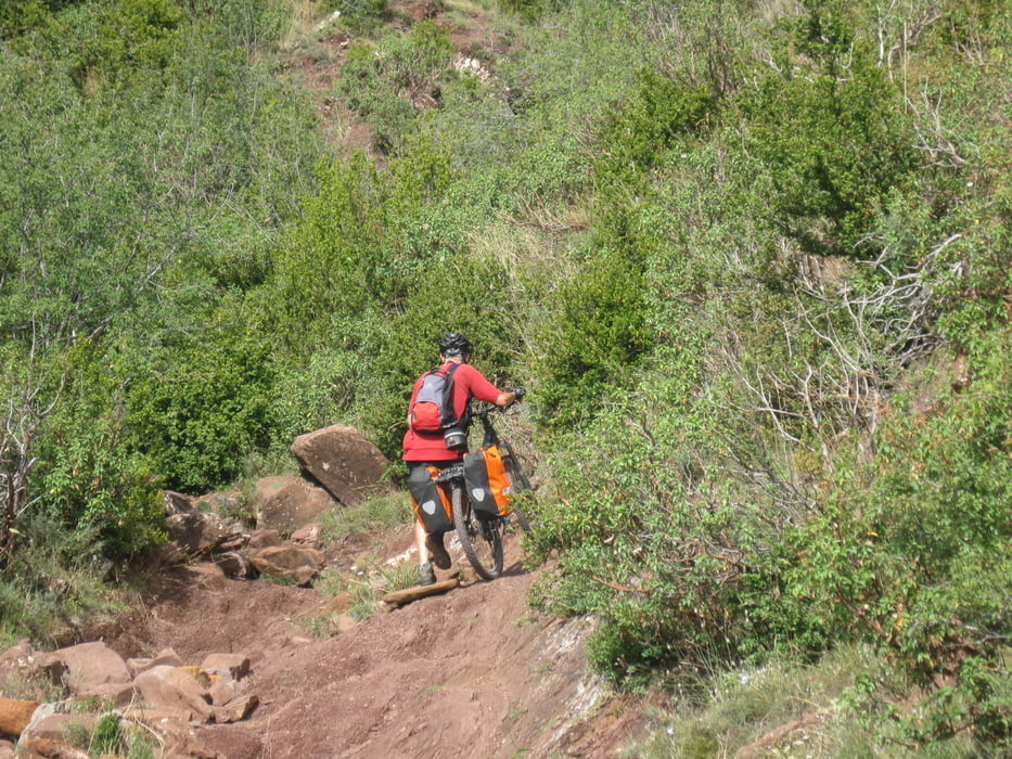
Herrliche MTB-Tour durch die Pyrenäen, vom Mittelmeer zum Atlantik. Viele Trails und manchmal schieben. Lange Strecken unberührte Natur.

Tour gallery

Tour map and elevation profile

  • Open Street Map
  • Google
Minimum height -14 m Maximum height 2277 m Detailed view

More about the tour author

Guennae
Member since 2007

Send private message

Comments

GPS tracks

Trackpoints
  • GPX / Garmin Map Source (gpx) download
  • TCX / Garmin Training Center® (tcx) download
  • CRS / Garmin Training Center® (crs) download
  • Google Earth (kml) download
  • G7ToWin (g7t) download
  • TTQV (trk) download
  • Overlay (ovl) download
  • Fugawi (txt) download
  • Kompass (DAV) Track (tk) download
  • Track data sheet (pdf) download
  • Original file of the author (gpx) download

More about the tour author

Guennae
Member since 2007

Send private message
Share track
Add to my favorites
Remove from my favorites
Edit tags
My score
Rate
Track: Von Llanca nach Irun, Teil 1
Type: Mountain bike
Distance: 477,5 km
Evaluated on:
Duration:
Day(s)
Hour(s)
Minute(s)
Score: Landscape Fun factor Fitness Technique