
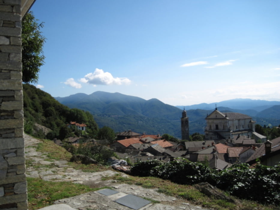

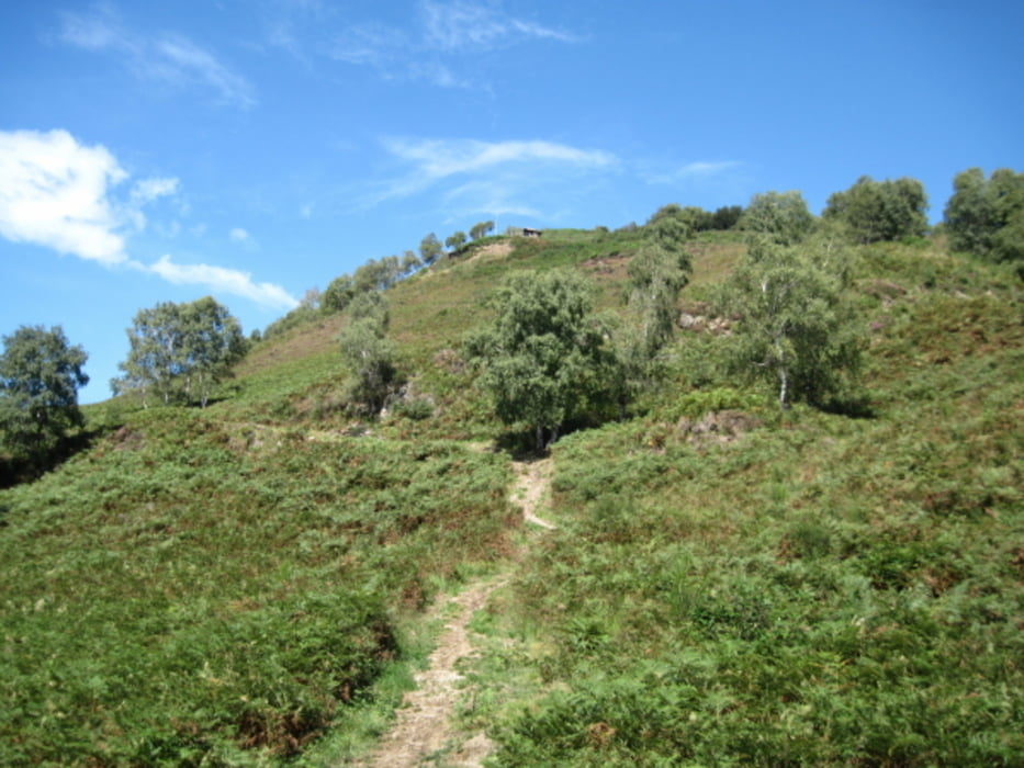
Von Cannobio südlich geht es gut beschildert gleich in den Wald bis wir die Ortschaft Viggione erreichen. Diese durchqueren wir nach oben bis zum Wanderparkplatz. Ab hier geht es wieder meist beschildert auf leichten Wegen bis zum breiten Gipfel mit einer "Andachtsstelle" mit Altar. Der Weg abwärts ist nicht mit Cannobio beschildert, aber man kann ganz gut in Richtung des sichtbaren Dorfes gehen. Der Weg abwärts ist teilweise recht steil und rutschig. Glücklichweise alles im Wald wenn die Sone allzu heiß scheint.
Tour gallery
Tour map and elevation profile
Minimum height 214 m
Maximum height 1116 m
More about the tour author
|
|
tazzo |
Comments

Am südlichen Ortsende von Cannobio gibt es einen Parkplatz. Dann ein Stück ins Cannobiotal und links bei einem Wegweiser geht es dann los.
GPS tracks
Trackpoints-
GPX / Garmin Map Source (gpx) download
-
TCX / Garmin Training Center® (tcx) download
-
CRS / Garmin Training Center® (crs) download
-
Google Earth (kml) download
-
G7ToWin (g7t) download
-
TTQV (trk) download
-
Overlay (ovl) download
-
Fugawi (txt) download
-
Kompass (DAV) Track (tk) download
-
Track data sheet (pdf) download
-
Original file of the author (gpx) download
More about the tour author
|
|
tazzo |
Add to my favorites
Remove from my favorites
Edit tags
Open track
My score
Rate