


Start und Ziel ist ausserhalb Bad Ischl ein kleiner Parkplatz im Rettenbachtal.
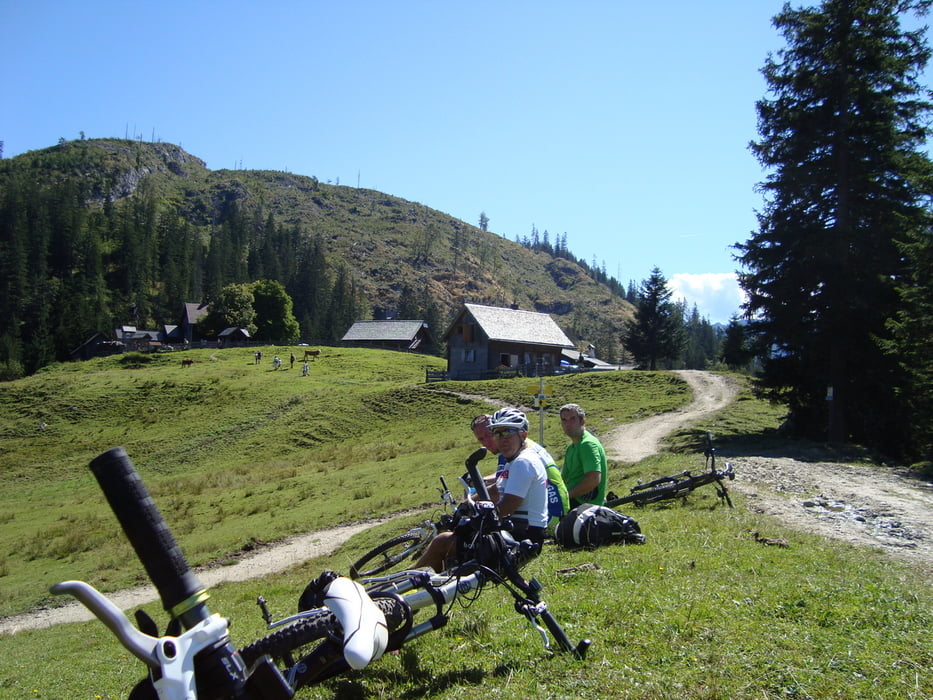
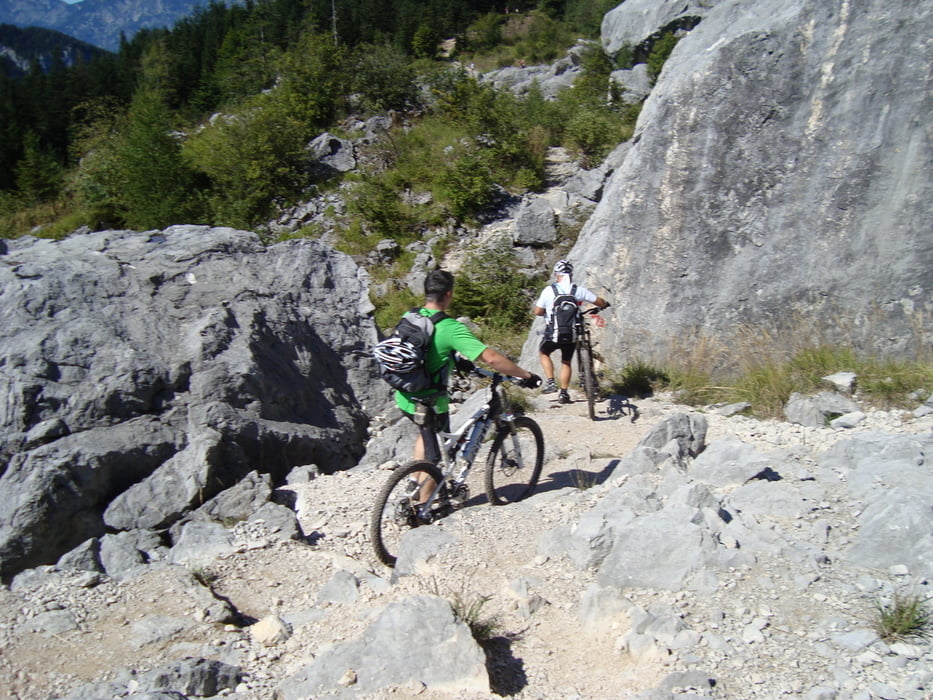
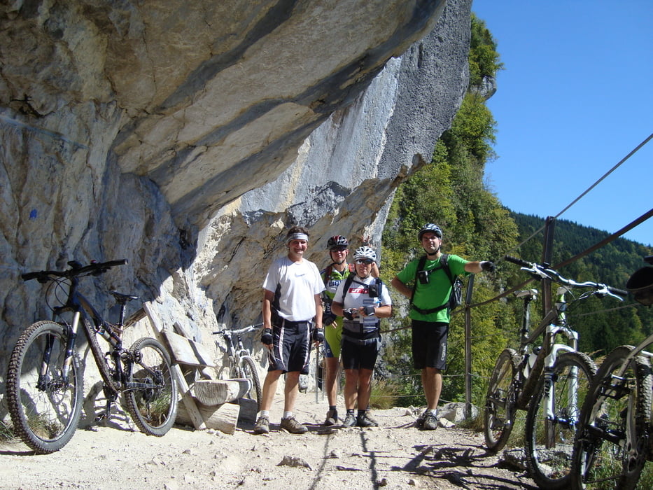
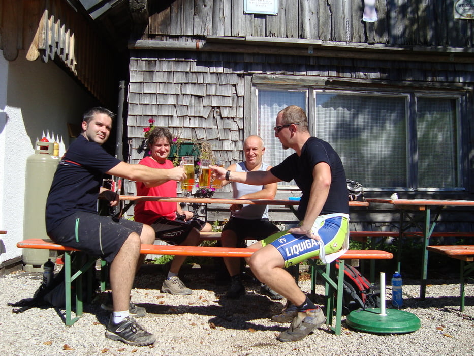
Zuerst vorbei an der Blaa Alm ins Naturschutzgebiet Pitzingmoos, eine wunderschöne Sumpflandschaft die Räder muss man ca.20min. schieben. Dann weiter zur Hütteneckalm (Einkehrmöglichkeit) vorbei an Felsabgängen (die Räder muss man wieder schieben) zur Ewigen Wand. Ein letzter Anstieg über die Reinpfalzalm zur Hoisenradalm mit sehr guter Verpflegung und über den Jubiläumssteig (steiler schwieriger Trail) runter zum Ausgangspunkt. Eine sehr schöne Tour mit super Panorama.
mehr Bilder : seppdepp.heim.at
Tour gallery
Tour map and elevation profile
Minimum height 483 m
Maximum height 1264 m
More about the tour author
|
|
Atzbach |
Comments
GPS tracks
Trackpoints-
GPX / Garmin Map Source (gpx) download
-
TCX / Garmin Training Center® (tcx) download
-
CRS / Garmin Training Center® (crs) download
-
Google Earth (kml) download
-
G7ToWin (g7t) download
-
TTQV (trk) download
-
Overlay (ovl) download
-
Fugawi (txt) download
-
Kompass (DAV) Track (tk) download
-
Track data sheet (pdf) download
-
Original file of the author (gpx) download
More about the tour author
|
|
Atzbach |
Add to my favorites
Remove from my favorites
Edit tags
Open track
My score
Rate
Super Tour
Der letzte Trail von da Hoisenradalm zurück nach Ischl hats in sich.
Super passage an der Ewige wand.