


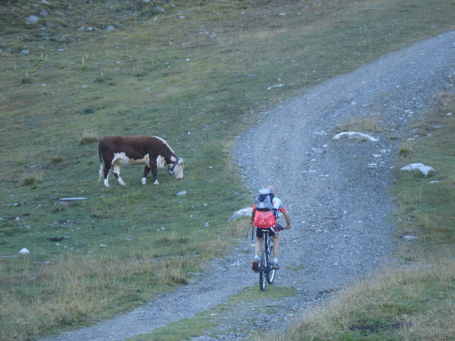
Partendo da Surlej (grande parcheggio prima degli impianti di risalita) si sale all'ultima funivia da qui inizia il sentiero segnato per Fuorcla Surlej. E' interamente pedalabile su strada battuta (eccetto brevi tratti molto ripidi e sconnessi dopo l'Alp Margun).
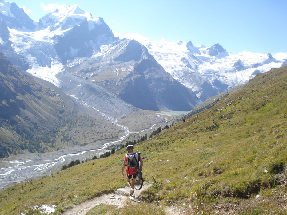
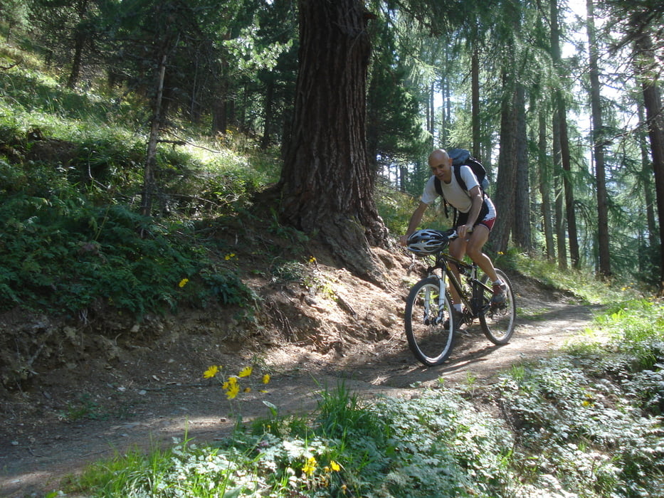
La prima parte della discesa in Val Roseg molto tecnica e sconnessa fino a fondovalle (a tratti con bici in spalla), poi scorrevole fino a Pontresina. Da qui un lungo tratto con saliscendi continui in un bosco spettacolare si raggiunge Surlej.
N.B. A Pontresina, prima del passaggio a livello, si può prendere la strada a dx che conduce al sentiero (segnato Surlej) che si ricongiunge alla traccia senza perdere quota.
Further information at
http://www.mtb-forum.it/community/forum/showthread.php?t=50353Tour gallery
Tour map and elevation profile
Minimum height 1779 m
Maximum height 2753 m
More about the tour author

|
pizzoccolo |
Comments

Arrivati a Silvaplana raggiunta un grande rotonda voltare a destra in direzione Surlej e raggiungere il primo grande parcheggio.
GPS tracks
Trackpoints-
GPX / Garmin Map Source (gpx) download
-
TCX / Garmin Training Center® (tcx) download
-
CRS / Garmin Training Center® (crs) download
-
Google Earth (kml) download
-
G7ToWin (g7t) download
-
TTQV (trk) download
-
Overlay (ovl) download
-
Fugawi (txt) download
-
Kompass (DAV) Track (tk) download
-
Track data sheet (pdf) download
-
Original file of the author (gpx) download
More about the tour author
|
|
pizzoccolo |
Add to my favorites
Remove from my favorites
Edit tags
Open track
My score
Rate