Login

Forgot your login?

Cookies have to be accepted!
Your browser's cookie functionality is disabled. Please enable this functionality.

Not a member yet?

Register now
Login

Available for registred users only

Log in to use this feature.

Forgot your login?

Cookies have to be accepted!
Your browser's cookie functionality is disabled. Please enable this functionality.

Not a member yet?

Register now
Filter
Categories
Advanced filters
  • Distance (km)
  • Height
Save filters Reset filter

TrackRank

QRCode

Technical data

Distance44,3 km Height1215 m Way down1215 m Duration05:00 h:m Date12.09.2011
Scores Author User Landscape Fun factor Fitness Technique

Statistics

755 Views 1 Score 102 Downloads 3.00 Average
Rate
  • Track data sheet
  • Directions
  • Downloads
schöne Anfahrt bis knapp vor den Staubfall - schieben/tragen - ab Heutal wieder Forststrasse - flowiger Downhill zum Seegatterl - am Chiemgau Radweg zurück
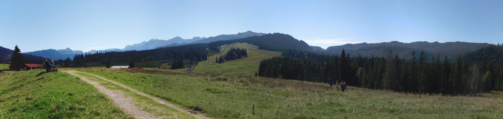
Tour gallery

Tour map and elevation profile

  • Open Street Map
  • Google
Minimum height 699 m Maximum height 1474 m Detailed view

More about the tour author

NitramH
Member since 2009

Send private message

Comments

manfredsperl on 25.08.2012

Steinplatte

was sich in der Tourenbeschreibung als kurze Schiebepassage liest, entpuppt sich als 40 minütiger Aufstieg zum Staubfall.
Ca. 3km nach der Stallenalm wird´s dann auf ca 500 Meter richtig morastig. Auch das wäre einer Erwähnung wert gewesen!

GPS tracks

Trackpoints
  • GPX / Garmin Map Source (gpx) download
  • TCX / Garmin Training Center® (tcx) download
  • CRS / Garmin Training Center® (crs) download
  • Google Earth (kml) download
  • G7ToWin (g7t) download
  • TTQV (trk) download
  • Overlay (ovl) download
  • Fugawi (txt) download
  • Kompass (DAV) Track (tk) download
  • Track data sheet (pdf) download
  • Original file of the author (gpx) download

More about the tour author

NitramH
Member since 2009

Send private message
Share track
Add to my favorites
Remove from my favorites
Edit tags
My score
Rate
Track: Steinplatte
Type: Mountain bike
Distance: 44,3 km
Evaluated on:
Duration:
Day(s)
Hour(s)
Minute(s)
Score: Landscape Fun factor Fitness Technique