


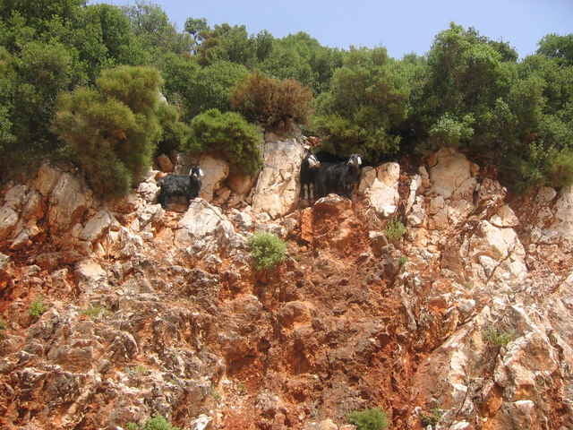
Rund um Kas. Zunächst sehr steiler Antieg aus Kas raus auf der Hauptstraße (man kann aber auch rechts parallel Innerorts-Straßen nehmen), dann bewegt man sich großteils auf der Hochebene, hat auch mal einen kleinen Trail. Zum Schluß geht es auf Schotterstraße wieder zurück nach Kas. Traumhafte Ausblicke auf die Insellandschaft rund um Kas und völlig unbelebte Straßen (außer Anfang).
Für diese Region gibt auch es ein Buch von Werner Eichhorn (www.bike-guide-tuerkei.eu): Bike Guide Türkische Riviera, 2007 Bergverlag Rother, ISBN 978-3-7633-5017-9
Für diese Region gibt auch es ein Buch von Werner Eichhorn (www.bike-guide-tuerkei.eu): Bike Guide Türkische Riviera, 2007 Bergverlag Rother, ISBN 978-3-7633-5017-9
Tour gallery
Tour map and elevation profile
Minimum height -22 m
Maximum height 305 m
More about the tour author
|
|
berufsradler |
Comments

GPS tracks
Trackpoints-
GPX / Garmin Map Source (gpx) download
-
TCX / Garmin Training Center® (tcx) download
-
CRS / Garmin Training Center® (crs) download
-
Google Earth (kml) download
-
G7ToWin (g7t) download
-
TTQV (trk) download
-
Overlay (ovl) download
-
Fugawi (txt) download
-
Kompass (DAV) Track (tk) download
-
Track data sheet (pdf) download
-
Original file of the author (gpx) download
More about the tour author
|
|
berufsradler |
Add to my favorites
Remove from my favorites
Edit tags
Open track
My score
Rate