Login

Forgot your login?

Cookies have to be accepted!
Your browser's cookie functionality is disabled. Please enable this functionality.

Not a member yet?

Register now
Login

Available for registred users only

Log in to use this feature.

Forgot your login?

Cookies have to be accepted!
Your browser's cookie functionality is disabled. Please enable this functionality.

Not a member yet?

Register now
Filter
Categories
Advanced filters
  • Distance (km)
  • Height
Save filters Reset filter

TrackRank

QRCode

Technical data

Distance20,4 km Height482 m Way down501 m Duration02:02 h:m Date13.09.2011
Scores Author Landscape Fun factor Fitness Technique

Statistics

114 Views Scores 22 Downloads Average
Rate
  • Track data sheet
  • Directions
  • Downloads

Strecke ist bergig GPS aufgezeichnet einsam, ruhig rau steinig ausgewaschen weich fest

Art des Weges Schotterweg / Sandweg Querfeldein Pfad / Fußweg Fahrweg / Wirtschaftsweg


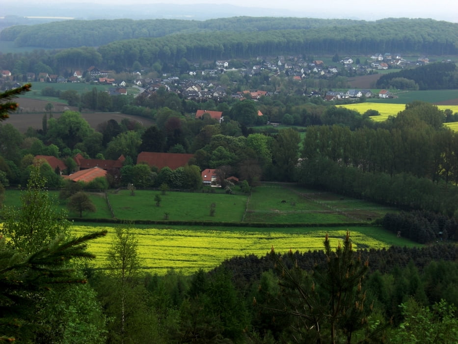
Strecke benötigt gute Kondition. Unvergleichbar der Blick vom Tönsberg über ganz Lippe. 

Tour gallery

Tour map and elevation profile

  • Open Street Map
  • Google
Minimum height 139 m Maximum height 336 m Detailed view

More about the tour author

Blauberger
Member since 2011

Send private message

Comments

GPS tracks

Trackpoints
  • GPX / Garmin Map Source (gpx) download
  • TCX / Garmin Training Center® (tcx) download
  • CRS / Garmin Training Center® (crs) download
  • Google Earth (kml) download
  • G7ToWin (g7t) download
  • TTQV (trk) download
  • Overlay (ovl) download
  • Fugawi (txt) download
  • Kompass (DAV) Track (tk) download
  • Track data sheet (pdf) download
  • Original file of the author (gpx) download

More about the tour author

Blauberger
Member since 2011

Send private message
Share track
Add to my favorites
Remove from my favorites
Edit tags
My score
Rate
Track: Tönsbergrunde
Type: Mountain bike
Distance: 20,4 km
Evaluated on:
Duration:
Day(s)
Hour(s)
Minute(s)
Score: Landscape Fun factor Fitness Technique