Login

Forgot your login?

Cookies have to be accepted!
Your browser's cookie functionality is disabled. Please enable this functionality.

Not a member yet?

Register now
Login

Available for registred users only

Log in to use this feature.

Forgot your login?

Cookies have to be accepted!
Your browser's cookie functionality is disabled. Please enable this functionality.

Not a member yet?

Register now
Filter
Categories
Advanced filters
  • Distance (km)
  • Height
Save filters Reset filter
Europaflug
Paragliding and hang gliding / Track #89689
Europaflug
Spanien / Islas Canarias / Schweiz, Frankreich, Spanien, Marokko / Islas Canarias

TrackRank

QRCode

Technical data

Distance3.807,1 km Height11937 m Way down12229 m Duration4 days 0 h Date15.09.2011
Scores Author Landscape Fun factor Fitness Technique

Statistics

292 Views Scores 9 Downloads Average
Rate
  • Track data sheet
  • Directions
  • Downloads
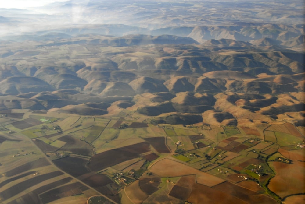
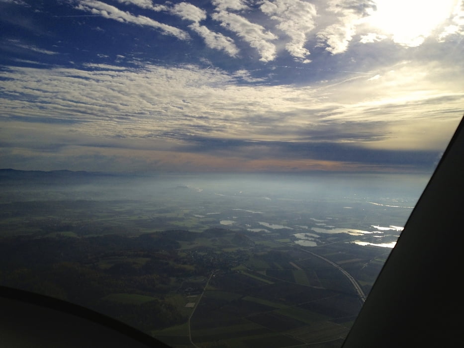
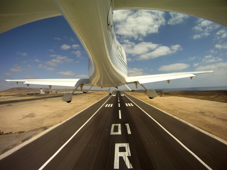
Flug nach Sichtflugregelen mit einem 4sitzigen Sportflugzeug von Straubing über die Schweiz mit Zwischenlandung und Übernachtung in Bourg en Bresse in Frankreich. Weiterflug mit Ziel Reus/Tarragona. Wetterbedingte Zwischenlandung in Montpellier und Girona (Übernachtung). Weiterflug nach Reus (Tanken) und Weiterflug quer durch Spanien nach Jerez de la Frontera. Zwei Übernachtungen dort. Weiterflug über Marokko bis nach Essaouira (nördlich von Agadir, Tanken). Weiterflug nach Lanzarote, Taken und Weiterflug zum Endziel Fuerteventura.

Tour gallery

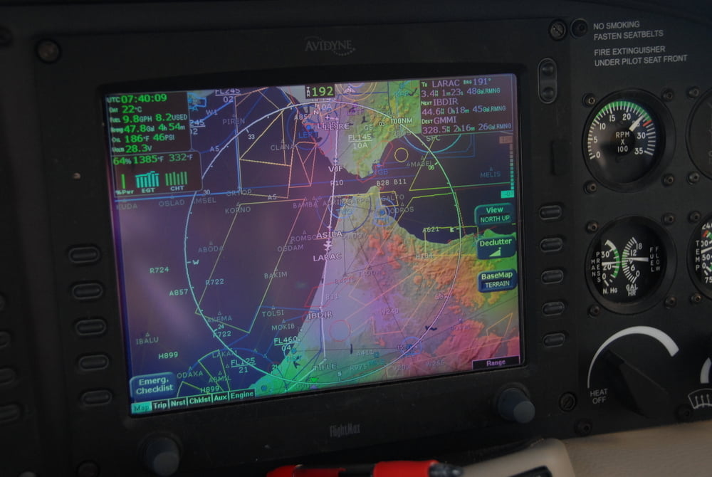
Tour map and elevation profile

  • Open Street Map
  • Google
Minimum height -4 m Maximum height 2429 m Detailed view

More about the tour author

cirrus123
Member since 2010

Send private message

Comments

Divers

GPS tracks

Trackpoints
  • GPX / Garmin Map Source (gpx) download
  • TCX / Garmin Training Center® (tcx) download
  • CRS / Garmin Training Center® (crs) download
  • Google Earth (kml) download
  • G7ToWin (g7t) download
  • TTQV (trk) download
  • Overlay (ovl) download
  • Fugawi (txt) download
  • Kompass (DAV) Track (tk) download
  • Track data sheet (pdf) download
  • Original file of the author (gpx) download

More about the tour author

cirrus123
Member since 2010

Send private message
Share track
Add to my favorites
Remove from my favorites
Edit tags
My score
Rate
Track: Europaflug
Type: Paragliding and hang gliding
Distance: 3.807,1 km
Evaluated on:
Duration:
Day(s)
Hour(s)
Minute(s)
Score: Landscape Fun factor Fitness Technique