


Rundtour im nördlichen Estergebirge mit Abstecher auf den eher selten begangenen Hirschberg bei Ohlstadt (www.ohlstadt.de).
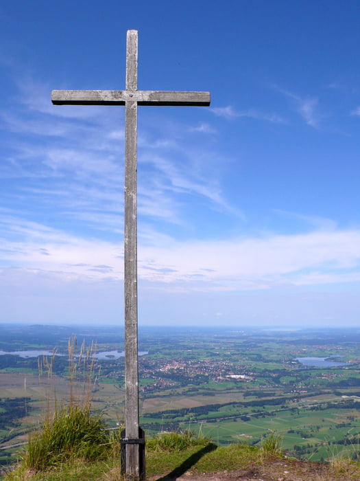
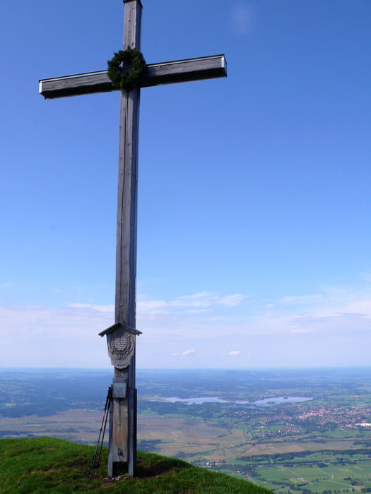
Super Aussicht auf Karwendel, Werdenfelser Land und die Seen des bayrischen Oberlandes.
Ohlstadt - Wankhütte - Hirschberg - Wankhütte - Buchrain - Rauheck - Bärenfleckalm - Kaltwasserlaine - Ohlstadt.
Streckenweise sehr steil; Einstieg zum Steig auf den Hirschberg über wegloses Wiesengelände.
Abstieg vom Rauheck zur Bärenfleckalm (privat) anfänglich auch etwas steil (Trittsicherheit!).
Im unteren Teil der Tour Abstieg auf einsamen Steig entlang der Kaltwasserlaine (anstatt auf der Forststraße).
Further information at
http://www.tourentipp.de/cgi-bin/wPrintpreview.cgi?source=http://www.tourentipp.de/de/touren/details.php?id=736Tour gallery


Tour map and elevation profile
Minimum height 687 m
Maximum height 1653 m
More about the tour author

|
BG69 |
Comments

Von München: A95 Richtung Garmisch, Ausfahrt Murnau/Kochel.
Weiter auf B2 nach Ohlstadt, dort zum Wanderparkplatz in der Wankstraße am südöstlichen Ortsende.
GPS tracks
Trackpoints-
GPX / Garmin Map Source (gpx) download
-
TCX / Garmin Training Center® (tcx) download
-
CRS / Garmin Training Center® (crs) download
-
Google Earth (kml) download
-
G7ToWin (g7t) download
-
TTQV (trk) download
-
Overlay (ovl) download
-
Fugawi (txt) download
-
Kompass (DAV) Track (tk) download
-
Track data sheet (pdf) download
-
Original file of the author (gpx) download
More about the tour author
|
|
BG69 |
Add to my favorites
Remove from my favorites
Edit tags
Open track
My score
Rate