
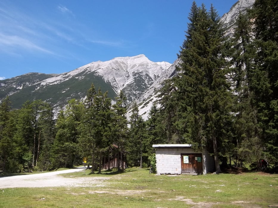

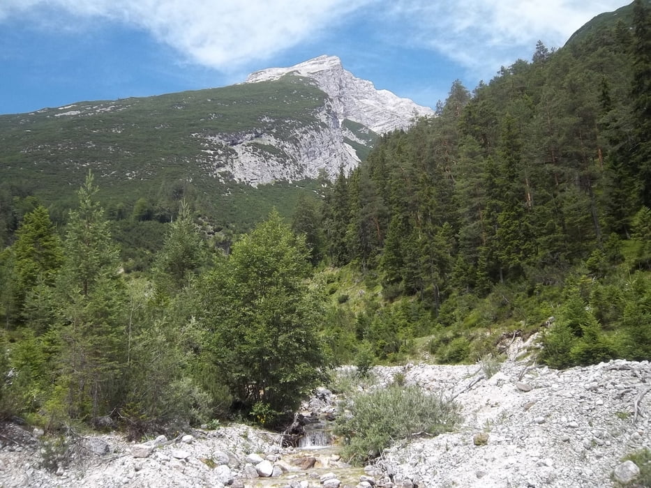
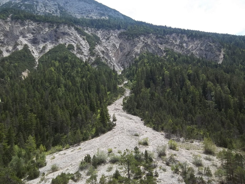
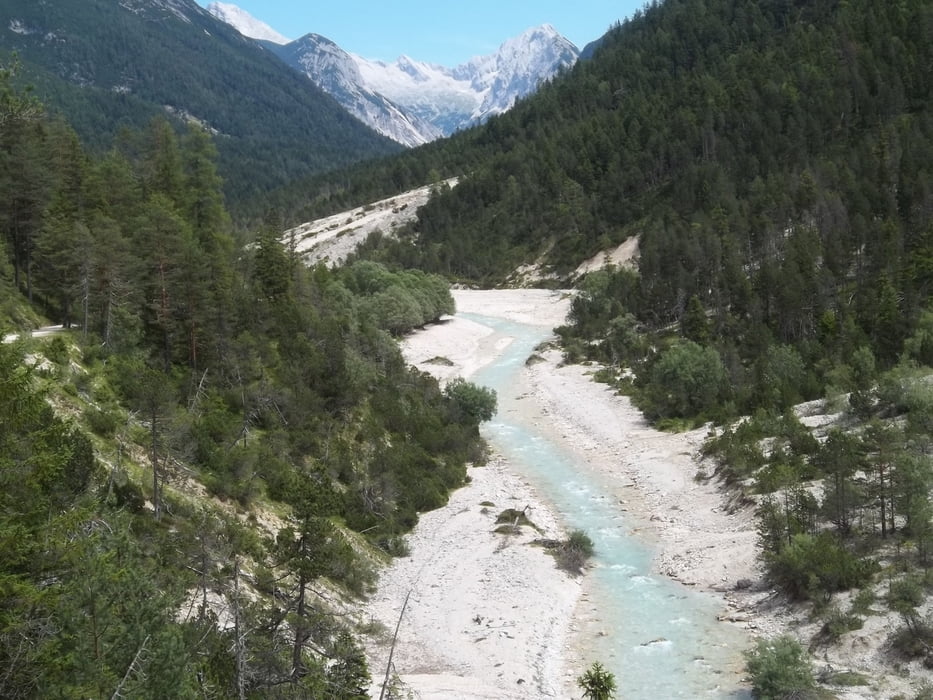
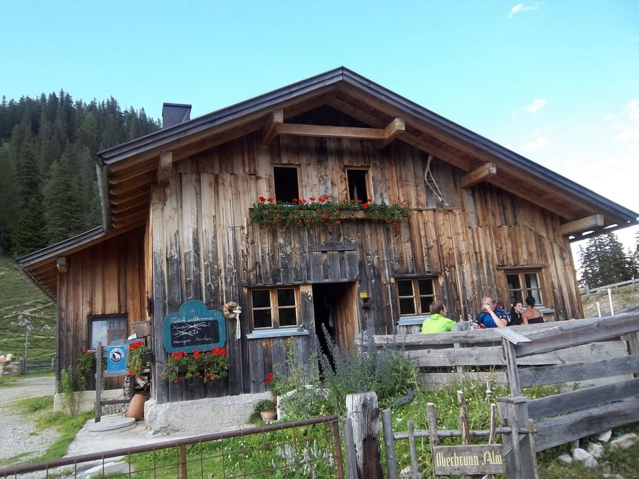
Wunderschöne Tour erst von Scharnitz zur Kastenalm und Isarursprung und dann über die Oberbrunnalm zurück nach Scharnitz. Startplatz ist der Bahnhof Scharnitz dann geht es das Isartal aufwärts bis zur Kastenalm. Hier lohnt eine kurze Rast. Zurück führt uns der Weg vom Isartal nach links über die Isar und bergauf. Nach dem ersten Anstieg müssen wir rechts abbiegen und einen zweiten Anstieg überwinden. Auf der Oberbrunnalm können wir wieder eine Pause einlegen. Zurück fahren wir das Gießenbachtal abwärts bis Gießenbach. Bis zurück zum Startplatz benutzen wir den Fahrradweg nach Scharnitz.
Tour gallery
Tour map and elevation profile
Minimum height 931 m
Maximum height 1530 m
More about the tour author

|
bernd_brinck |
Comments

BAB A 95 bis Oberau und auf der B 2 weiter über Garmisch und Mittenwald nach Scharnitz. Links von der Hauptstraße ist der Bahnhof mit einem kostenfreien großen Parkplatz.
GPS tracks
Trackpoints-
GPX / Garmin Map Source (gpx) download
-
TCX / Garmin Training Center® (tcx) download
-
CRS / Garmin Training Center® (crs) download
-
Google Earth (kml) download
-
G7ToWin (g7t) download
-
TTQV (trk) download
-
Overlay (ovl) download
-
Fugawi (txt) download
-
Kompass (DAV) Track (tk) download
-
Track data sheet (pdf) download
-
Original file of the author (gpx) download
More about the tour author
|
|
bernd_brinck |
Add to my favorites
Remove from my favorites
Edit tags
Open track
My score
Rate