


1.Tag: 900 hm, 50 km
von Friedrichshafen mit Fähre über den Bodensee, gemütlich weiterradeln nach Appenzell
2. Tag: 1140 hm, 67 km
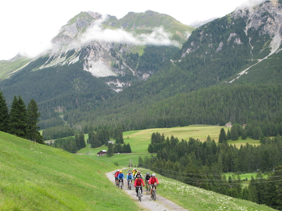
Richtung Säntis zur Schwägalm, Nesslau, Wildhaus nach Buchs
3. Tag: 1120 hm, 68 km
am Rhein entlang nach Bad Ragaz, Vättis, über den Kunkelpass nach Chur
4. Tag: 1140 hm, 40 km
Churwalden, Parpan, Lenzerheide nach Thusis
5. Tag: 1450 hm, 56 km
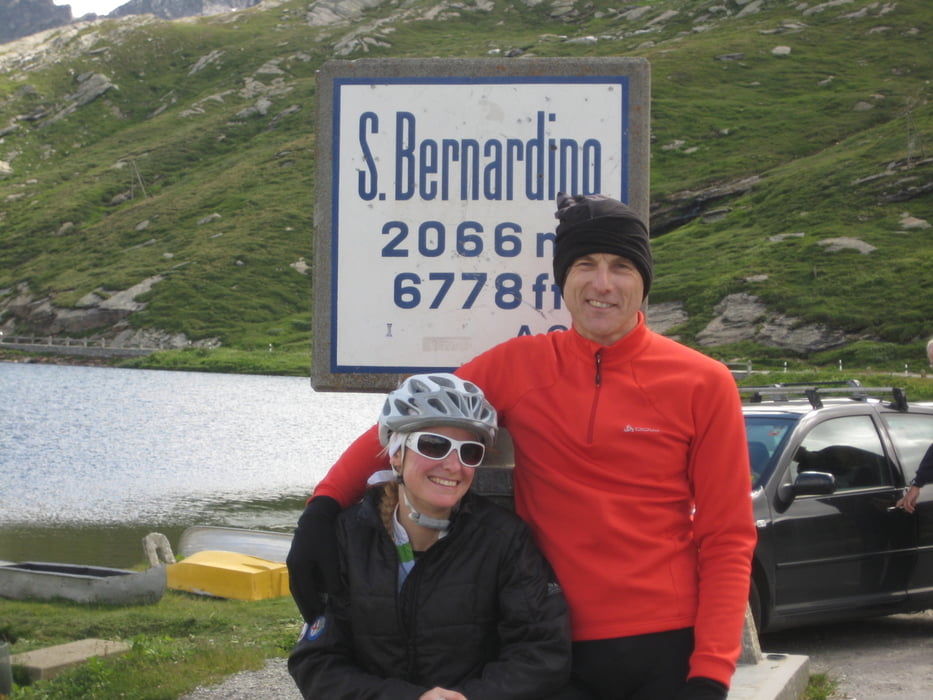
durch die Via-Mala-Schlucht den Hinterrhein hinauf über den San Bernardinopass zum Ort San Bernardino
6. Tag: 290 hm, 68 km
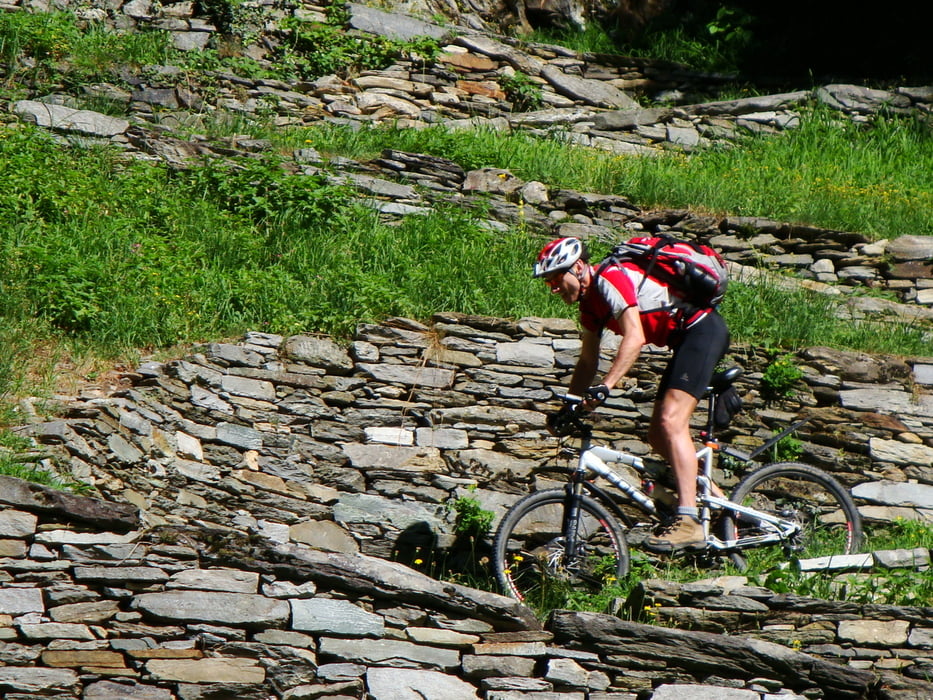
immer schön runter nach Locarno am Lago Maggiore
Tour gallery

Tour map and elevation profile
Minimum height 201 m
Maximum height 2071 m
More about the tour author
|
|
Kunz |
Comments

Friedrichshafen am Bodensee
GPS tracks
Trackpoints-
GPX / Garmin Map Source (gpx) download
-
TCX / Garmin Training Center® (tcx) download
-
CRS / Garmin Training Center® (crs) download
-
Google Earth (kml) download
-
G7ToWin (g7t) download
-
TTQV (trk) download
-
Overlay (ovl) download
-
Fugawi (txt) download
-
Kompass (DAV) Track (tk) download
-
Track data sheet (pdf) download
-
Original file of the author (gpx) download
More about the tour author
|
|
Kunz |
Add to my favorites
Remove from my favorites
Edit tags
Open track
My score
Rate