


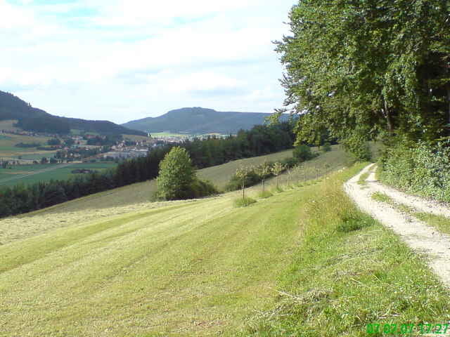
Aldingen - Schlösslesbühl - Schafberg - Gunningen - Hausen oV - Zundelberg - Wurmlingen - Ri Risiberg - nach den Häusern links in den Waldweg - Dürbheim Sportplatz/Schützenhaus - am Feldrand (bei gemähter Wiese) entlang bis Hochsitz, dort in den Wald -links weiter - Dreifaltigkeitsberg - Strasse runter bis Kehre auf ca. 800 m, dort in den Waldweg - am Gehöft vorbei - bis Radweg nach Aldingen
Tour gallery
Tour map and elevation profile
Minimum height 627 m
Maximum height 963 m
More about the tour author

|
JV |
Comments

Start: Aldingen, ev. Kirche od. Kindergarten Obere Felbenstrasse
GPS tracks
Trackpoints-
GPX / Garmin Map Source (gpx) download
-
TCX / Garmin Training Center® (tcx) download
-
CRS / Garmin Training Center® (crs) download
-
Google Earth (kml) download
-
G7ToWin (g7t) download
-
TTQV (trk) download
-
Overlay (ovl) download
-
Fugawi (txt) download
-
Kompass (DAV) Track (tk) download
-
Track data sheet (pdf) download
-
Original file of the author (gpx) download
More about the tour author
|
|
JV |
Add to my favorites
Remove from my favorites
Edit tags
Open track
My score
Rate