


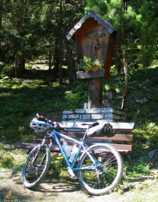
Start am Bahnhof Imsterberg. Auf der Landesstrasse über Imsterberg bis Vorderspadegg. Kurz noch auf Asphalt und dann gehts die Forststrasse (MTB 604) hinauf zur Venetalm (1994m). Abfahrt dann auf der MTB 640 hinunter nach Wenns. Auf Höhe 1620m Abzweigung zur Larcheralm (1814m) und weiter zur Galflunhütte (1961m). Auf gleichen Weg zurück bis zur MTB 640 und hinunter nach Wenns. Auf dem Pitztal Bike MTB 614 nach Arzl. In Arzl zur Pfarrkirche und ab hier auf Forststrassen zurück nach Imsterberg.
Tour gallery


Tour map and elevation profile
Minimum height 764 m
Maximum height 1982 m
More about the tour author
|
|
simplon73 |
Comments

GPS tracks
Trackpoints-
GPX / Garmin Map Source (gpx) download
-
TCX / Garmin Training Center® (tcx) download
-
CRS / Garmin Training Center® (crs) download
-
Google Earth (kml) download
-
G7ToWin (g7t) download
-
TTQV (trk) download
-
Overlay (ovl) download
-
Fugawi (txt) download
-
Kompass (DAV) Track (tk) download
-
Track data sheet (pdf) download
-
Original file of the author (gpx) download
More about the tour author
|
|
simplon73 |
Add to my favorites
Remove from my favorites
Edit tags
Open track
My score
Rate