


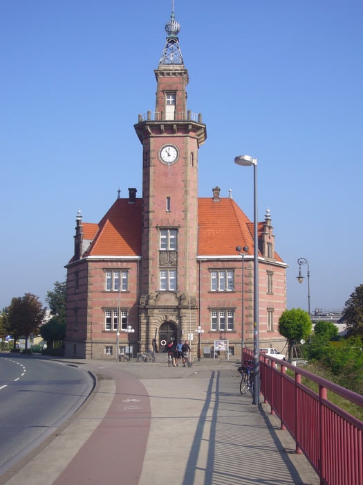
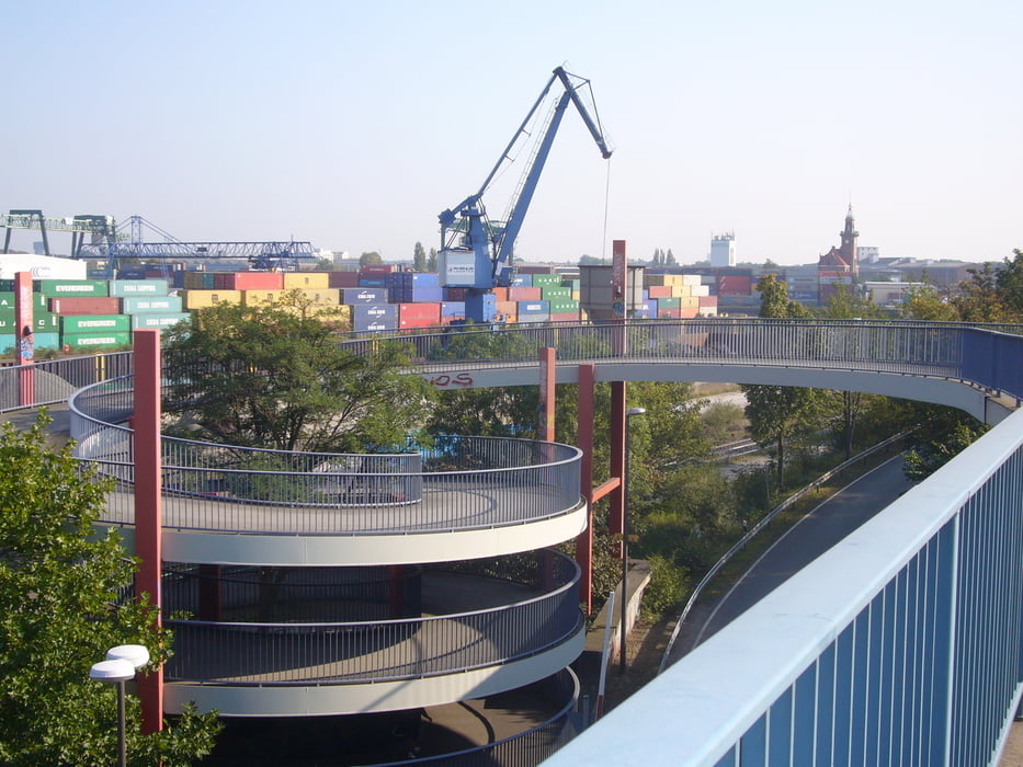
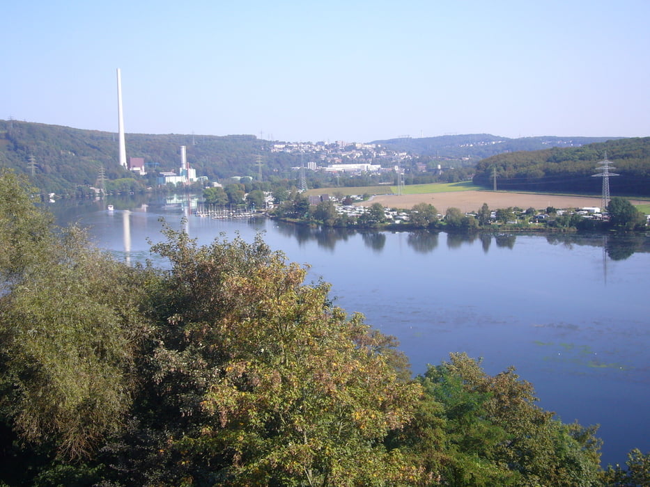
Es geht von Ottmarsbocholt in südlicher Richtung am Dortmunder Hafen vorbei zum Harkortsee und Hengsteysee. Zurück am Phönixsee, und am rechten Stadtrand von Dortmund über Lünen und Cappenberg.
Wenn man nicht zur Hauptverkehrszeit fährt sind die Strassen im Dortmunder Raum nicht zu voll.
Tour gallery

Tour map and elevation profile
Minimum height 48 m
Maximum height 254 m
More about the tour author
|
|
Pluto |
Comments

Ottmarsbocholt erreicht man von der Autobahn A1 Ausfahrt Ascheberg, dann über Davensberg nach Ottmarsbocholt.
A43 Ausfahrt Senden in Richtung Senden, von dort nach Ottmarsbocholt.
Start der Tour ist der Parklatz an der Kirche.
GPS tracks
Trackpoints-
GPX / Garmin Map Source (gpx) download
-
TCX / Garmin Training Center® (tcx) download
-
CRS / Garmin Training Center® (crs) download
-
Google Earth (kml) download
-
G7ToWin (g7t) download
-
TTQV (trk) download
-
Overlay (ovl) download
-
Fugawi (txt) download
-
Kompass (DAV) Track (tk) download
-
Track data sheet (pdf) download
-
Original file of the author (gpx) download
More about the tour author
|
|
Pluto |
Add to my favorites
Remove from my favorites
Edit tags
Open track
My score
Rate