


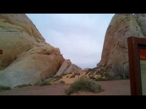
Erste Wanderung unserer USA-Reise 2011. Die White Domes im Valley of Fire.
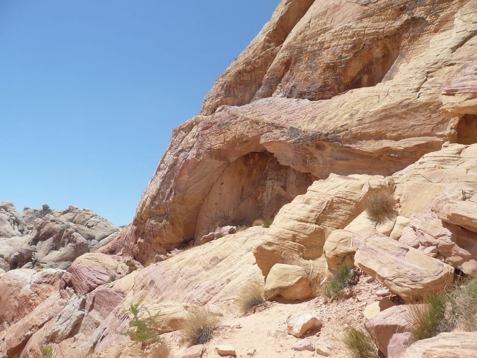
Fire ist ein gutes Stichwort, denn es war heiss wie in der Hölle. Temperaturen über 43°C lassen kein Zweifel daran aufkommen wo man sich befindet. Die Wanderung beginnt mit ein wenig Sand, in dem man nur recht langsam vorrankommt.
Bei dem folgenden Abstieg durch unwegsames Gelände sind Wanderstöcke oder auf neudeutsch "Hiking-Sticks" wirklich zu empfehlen, wenn sie auch nur der moralischen Unterstützung dienen sollten. Man wandert einfach enstpannter und fühlt sich sicherer.
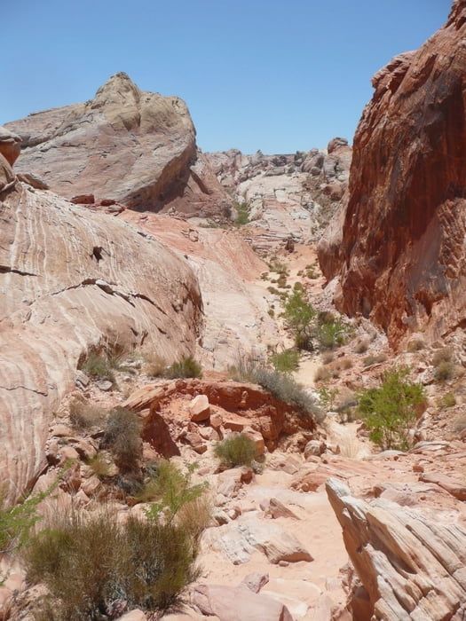
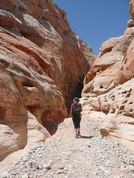
Am Alten Filmset vorbei (nicht zu viel erwarten) geht es rechts durch in einen kleinen Slotcanyon in eine farbenfrohe Felslandschaft.
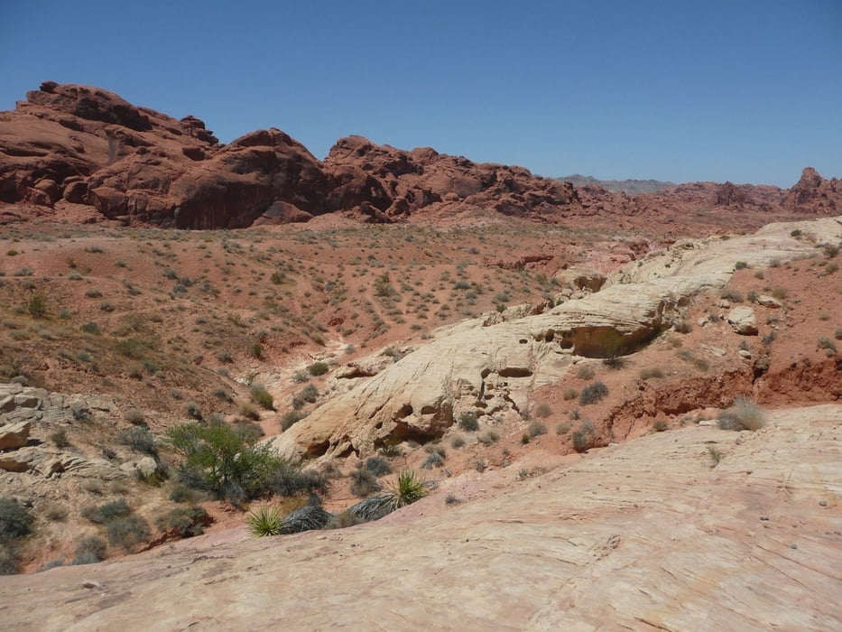
Nach ca. 1 Stunde mit jede Menge Fotopausen sind wir wieder am Trailhead, dem Parkplatz an den White Domes.
Further information at
http://parks.nv.gov/vf.htm#HIKESTour gallery
Tour map and elevation profile
Minimum height 567 m
Maximum height 661 m
More about the tour author
|
|
F_A |
Comments

Northeast of Las Vegas via Interstate 15 and on exit 75
GPS tracks
Trackpoints-
GPX / Garmin Map Source (gpx) download
-
TCX / Garmin Training Center® (tcx) download
-
CRS / Garmin Training Center® (crs) download
-
Google Earth (kml) download
-
G7ToWin (g7t) download
-
TTQV (trk) download
-
Overlay (ovl) download
-
Fugawi (txt) download
-
Kompass (DAV) Track (tk) download
-
Track data sheet (pdf) download
-
Original file of the author (gpx) download
More about the tour author
|
|
F_A |
Add to my favorites
Remove from my favorites
Edit tags
Open track
My score
Rate