Login

Forgot your login?

Cookies have to be accepted!
Your browser's cookie functionality is disabled. Please enable this functionality.

Not a member yet?

Register now
Login

Available for registred users only

Log in to use this feature.

Forgot your login?

Cookies have to be accepted!
Your browser's cookie functionality is disabled. Please enable this functionality.

Not a member yet?

Register now
Filter
Categories
Advanced filters
  • Distance (km)
  • Height
Save filters Reset filter

TrackRank

QRCode

Technical data

Distance45,9 km Height1209 m Way down1212 m Duration03:00 h:m Date26.09.2011
Scores Author Landscape Fun factor Fitness Technique

Statistics

427 Views Scores 72 Downloads Average
Rate
  • Track data sheet
  • Directions
  • Downloads

Start Camping Brixen

Naar Westendorf met mooie daling naar de Ache langs de Ache tot de mautstelle .
Treug naar Westendorf met lift omhoog over voetpad omhoog (Let Op! trail moet soms af stappen ) via Brechthaus de daling (Super afdaling maar ook goed opletten!) komen in Kirchberg vlak bij Ki West weer op de hoofdweg naar Kirchberg, je kunt dan nog kiezen of onverharde weg of hoofdweg.
Via kirchberg centrum terug naar Camping.
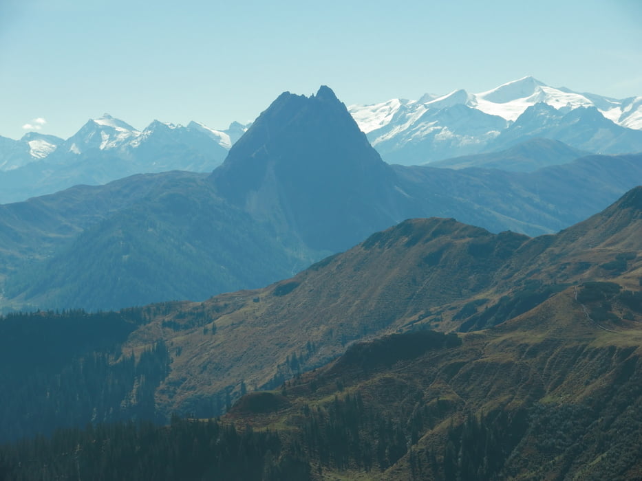
 

Tour gallery

Tour map and elevation profile

  • Open Street Map
  • Google
Minimum height 689 m Maximum height 1732 m Detailed view

More about the tour author

jebjes
Member since 2010

Send private message

Comments

GPS tracks

Trackpoints
  • GPX / Garmin Map Source (gpx) download
  • TCX / Garmin Training Center® (tcx) download
  • CRS / Garmin Training Center® (crs) download
  • Google Earth (kml) download
  • G7ToWin (g7t) download
  • TTQV (trk) download
  • Overlay (ovl) download
  • Fugawi (txt) download
  • Kompass (DAV) Track (tk) download
  • Track data sheet (pdf) download
  • Original file of the author (gpx) download

More about the tour author

jebjes
Member since 2010

Send private message
Share track
Add to my favorites
Remove from my favorites
Edit tags
My score
Rate
Track: Brixen_Westendorf_Mautstelle_Westendorf_Kirchberg_Brixen
Type: Mountain bike
Distance: 45,9 km
Evaluated on:
Duration:
Day(s)
Hour(s)
Minute(s)
Score: Landscape Fun factor Fitness Technique