
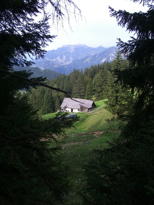

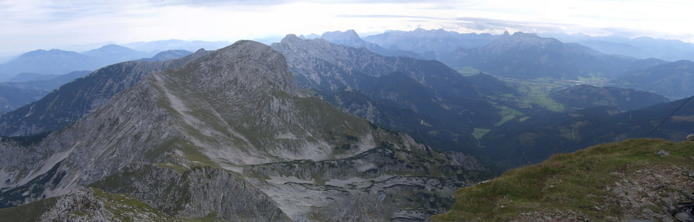
Auf dieser Wanderung stehen 3 Hütten zur Auswahl (Bosruckhütte, Hiaslalm und Rohrauerhaus), zugleich handelt es sich um einen Rundweg. Ich wählte den Aufstieg über die Hiaslalm zum Gipfel und danach über einen leichte Klettersteig (keine Klettersteigset erforderlich) runter zum Rohrauerhaus. Man kann diese Tour genauso auch in umgekehrter Richtung bewältigen.
Tour gallery
Tour map and elevation profile
Minimum height 1007 m
Maximum height 2231 m
More about the tour author
|
|
schoyswo |
Comments

In Spital am Pyhrn der Beschilderung Richtung Vogelsangklamm folgen und danach weiter zur Bosruckhütte.
GPS tracks
Trackpoints-
GPX / Garmin Map Source (gpx) download
-
TCX / Garmin Training Center® (tcx) download
-
CRS / Garmin Training Center® (crs) download
-
Google Earth (kml) download
-
G7ToWin (g7t) download
-
TTQV (trk) download
-
Overlay (ovl) download
-
Fugawi (txt) download
-
Kompass (DAV) Track (tk) download
-
Track data sheet (pdf) download
-
Original file of the author (gpx) download
More about the tour author
|
|
schoyswo |
Add to my favorites
Remove from my favorites
Edit tags
Open track
My score
Rate