


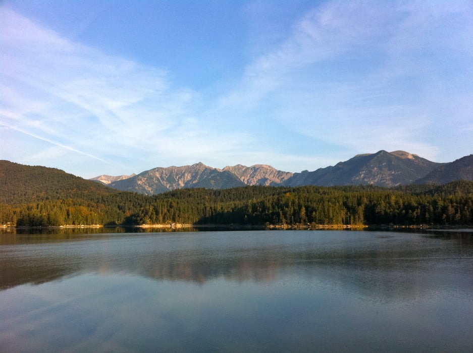
Tolle Runde ums Wettersteingebirge mit Startpunkt in Grainau via:
- Eibsee
- Ehrwald
- Ehrwalder Alm
- Leutasch
- Mittenwald
- Elmau
- Eckbauer Alm
- Partnachklamm
Wir haben insgesamt drei Pausen gemacht:
- nach dem Eibsee Anstieg und vor der Abfahrt nach Ehrwald
- Ehrwalder Alm
- Restaurant in Leutasch
Eckbauer Alm eignet sich auch noch für ein Stop wenns sich zeitlich ausgeht.
Im Sattel waren wir ca. 7 Stunden.
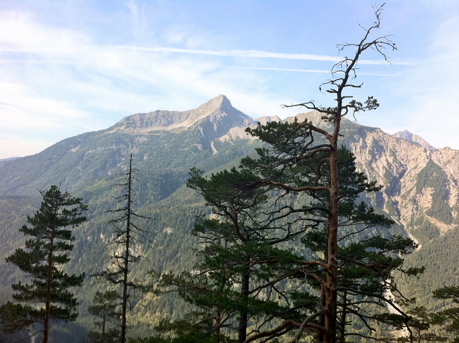
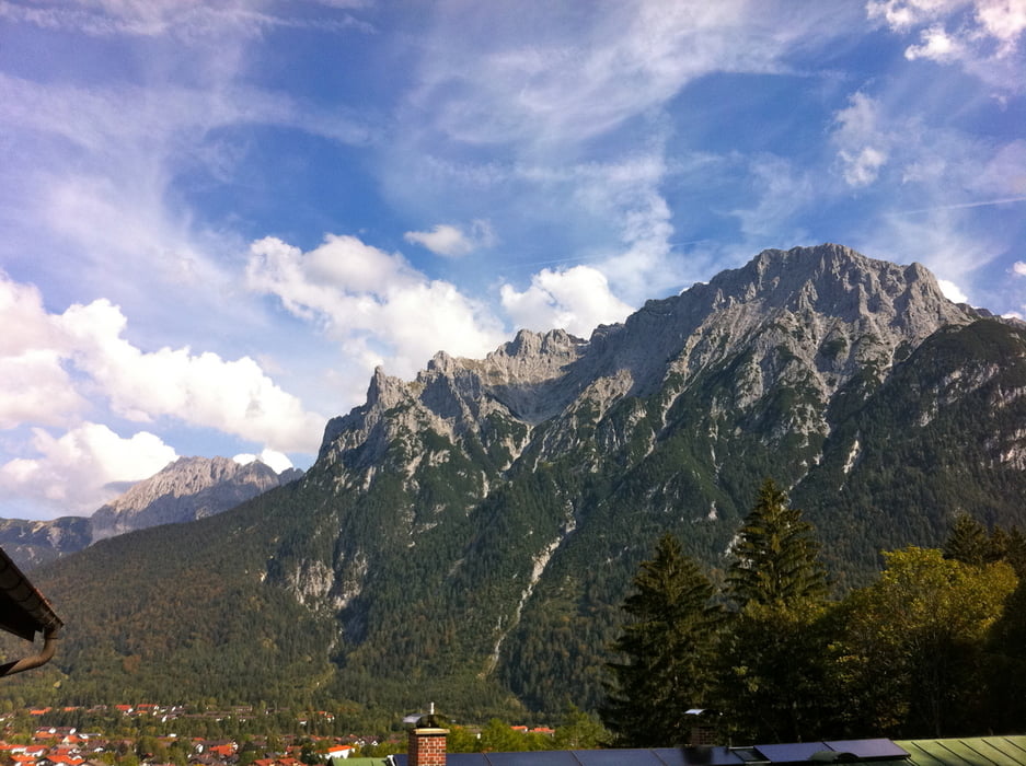
Tour gallery

Tour map and elevation profile
Minimum height 692 m
Maximum height 1607 m
More about the tour author

|
johannesbross |
Comments

Von Garmisch-Partenkirchen Richtung Fernpass fahren und dann Richtung Grainau / Eibsee links abbiegen. Der Wanderparkplatz kommt nach kurzer fahrt auf der linken Seite noch vor der Stadt.
GPS tracks
Trackpoints-
GPX / Garmin Map Source (gpx) download
-
TCX / Garmin Training Center® (tcx) download
-
CRS / Garmin Training Center® (crs) download
-
Google Earth (kml) download
-
G7ToWin (g7t) download
-
TTQV (trk) download
-
Overlay (ovl) download
-
Fugawi (txt) download
-
Kompass (DAV) Track (tk) download
-
Track data sheet (pdf) download
-
Original file of the author (gpx) download
More about the tour author
|
|
johannesbross |
Add to my favorites
Remove from my favorites
Edit tags
Open track
My score
Rate