


Eine Tour mit sehr schönen Ausblicken und Vielfalt an Wegqualitäten. Es sollte schon eine gewisse Kondition vorhanden sein. Insgesamt ca. 300m Aufstieg und 1500m Abstieg wies am Ende unser Etrex aus. Und von den 1500 sind ca. 800 m an einem Stück durch stark zerklüftete Wege am Ende zu gehen.
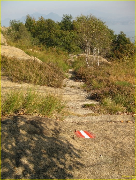
Man wird aber auch durch herrliche Ausblicke und abwechslungsreiche Landschaften entschädigt. Zerklüftete Skipisten, schmale Pfade mit Wiesenuntergrund, Tannen-, Eichen und Buchenwälder - alles ist dabei.
Startpunkt: Seilbahn zum Mottarone in Stresa - damit hoch zum Gipfel - ab dort über die asphaliterte Straße bis zum Wegweiser des M3 zum Monte Zughero - diesem folgen bis zur Hütte Alpe Nouva - dann auf den Zughero - von dort steiler Abstieg bis zur Hütte Vedabia - dort den Schildern folgen über Mte Crocino und Mte Camascio. Dann den Schildern M3 weiter folgen bis Baveno.
Von dort mit dem Zug wieder nach Stresa
Tour gallery


Tour map and elevation profile
Minimum height 206 m
Maximum height 1475 m
More about the tour author
|
|
Schiller1963 |
Comments

Parken: Stresa Bahnhof (20 min zur Talstation Seilbahn)
GPS tracks
Trackpoints-
GPX / Garmin Map Source (gpx) download
-
TCX / Garmin Training Center® (tcx) download
-
CRS / Garmin Training Center® (crs) download
-
Google Earth (kml) download
-
G7ToWin (g7t) download
-
TTQV (trk) download
-
Overlay (ovl) download
-
Fugawi (txt) download
-
Kompass (DAV) Track (tk) download
-
Track data sheet (pdf) download
-
Original file of the author (gpx) download
More about the tour author
|
|
Schiller1963 |
Add to my favorites
Remove from my favorites
Edit tags
Open track
My score
Rate