Login

Forgot your login?

Cookies have to be accepted!
Your browser's cookie functionality is disabled. Please enable this functionality.

Not a member yet?

Register now
Login

Available for registred users only

Log in to use this feature.

Forgot your login?

Cookies have to be accepted!
Your browser's cookie functionality is disabled. Please enable this functionality.

Not a member yet?

Register now
Filter
Categories
Advanced filters
  • Distance (km)
  • Height
Save filters Reset filter

TrackRank

QRCode

Technical data

Distance43,1 km Height453 m Way down430 m Duration02:24 h:m Date01.10.2011
Scores Author Landscape Fun factor Fitness Technique

Statistics

158 Views Scores 9 Downloads Average
Rate
  • Track data sheet
  • Directions
  • Downloads

Von Steinberg über Buch an die Iller bei Unterkirchberg. Über Iller und Donauzusammenflüss bis zur Adenauerbrücke in Ulm. Weiter zum Kuhberg und KZ Gedenkstätte. Dann zu schönem Trial nach Allewind und Ermingen. Kurzer Ausflug Richtung Erminger Fensehturm und wieder zurück nach Allewind.

Rückweg über Grimmelfingen, Donautal, Tannenplatz, Unterweiler, Altheim und Staig.
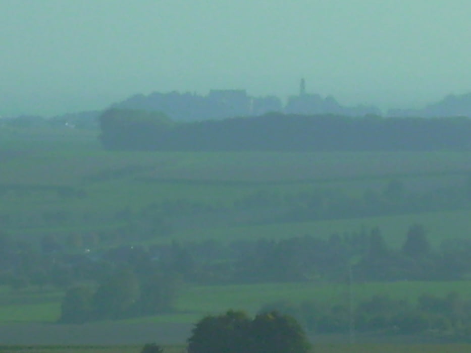
 

Tour gallery

Tour map and elevation profile

  • Open Street Map
  • Google
Minimum height 457 m Maximum height 627 m Detailed view

More about the tour author

painfully58
Member since 2008

Send private message

Comments

GPS tracks

Trackpoints
  • GPX / Garmin Map Source (gpx) download
  • TCX / Garmin Training Center® (tcx) download
  • CRS / Garmin Training Center® (crs) download
  • Google Earth (kml) download
  • G7ToWin (g7t) download
  • TTQV (trk) download
  • Overlay (ovl) download
  • Fugawi (txt) download
  • Kompass (DAV) Track (tk) download
  • Track data sheet (pdf) download
  • Original file of the author (gpx) download

More about the tour author

painfully58
Member since 2008

Send private message
Share track
Add to my favorites
Remove from my favorites
Edit tags
My score
Rate
Track: Steinberg Ermingen
Type: Mountain bike
Distance: 43,1 km
Evaluated on:
Duration:
Day(s)
Hour(s)
Minute(s)
Score: Landscape Fun factor Fitness Technique