


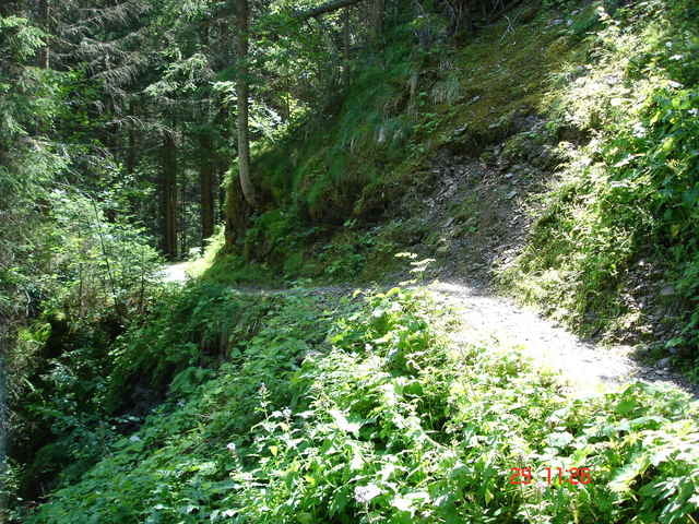
Wir Starten am Restaurant in Richtung Sunnbichl auf einer Forststraße weiter ein Stück auf Asphalt nach Weerberg und Kreuth. Von nun an führt eine schöner Forstweg rauf zum Loassattel wobei eine kleine Tragestrecke (ist beschildert ) zu überwältigen ist. Vom Loassattel wieder Berg ab nach Hochfügen. Wer noch weiter fahren möchte folgt am Parkplatz der Gondelbahn, es folgt ein langer und zäher Aufstieg der durch herrliche Talblicke belohnt wird . Keine Einkehrmöglichkeit, dafür aber eine super lange Abfahrt mit einem kurzen aber genialen Trail Stück. Diese Tour ist was für Höhenfresser mit schöner langer Abfahrt. Viel Spaß beim nachfahren.
Further information at
http://www.campingtirol.info/platz.php?lang=de&platz=24Tour gallery
Tour map and elevation profile
Minimum height 579 m
Maximum height 2128 m
More about the tour author

|
Frank Döller |
Comments

Startplatz am besten am Restaurant Austhäuserweg Ecke Rinderweg an der B171 zwischen Pill und Weer. TIP: Super Familiärer Campingplatz in Weer, Erwin und Harald geben auch gute Tipps für Bike Touren
GPS tracks
Trackpoints-
GPX / Garmin Map Source (gpx) download
-
TCX / Garmin Training Center® (tcx) download
-
CRS / Garmin Training Center® (crs) download
-
Google Earth (kml) download
-
G7ToWin (g7t) download
-
TTQV (trk) download
-
Overlay (ovl) download
-
Fugawi (txt) download
-
Kompass (DAV) Track (tk) download
-
Track data sheet (pdf) download
-
Original file of the author (g7t) download
More about the tour author
|
|
Frank Döller |
Add to my favorites
Remove from my favorites
Edit tags
Open track
My score
Rate