


Biker: Bernd, Fritz, Hannes, Irmgard, Peter B., Peter K., Stefan, Tom, Walter
Der Klassiker bei bestem Bike Wetter am 02. Okt 2011.
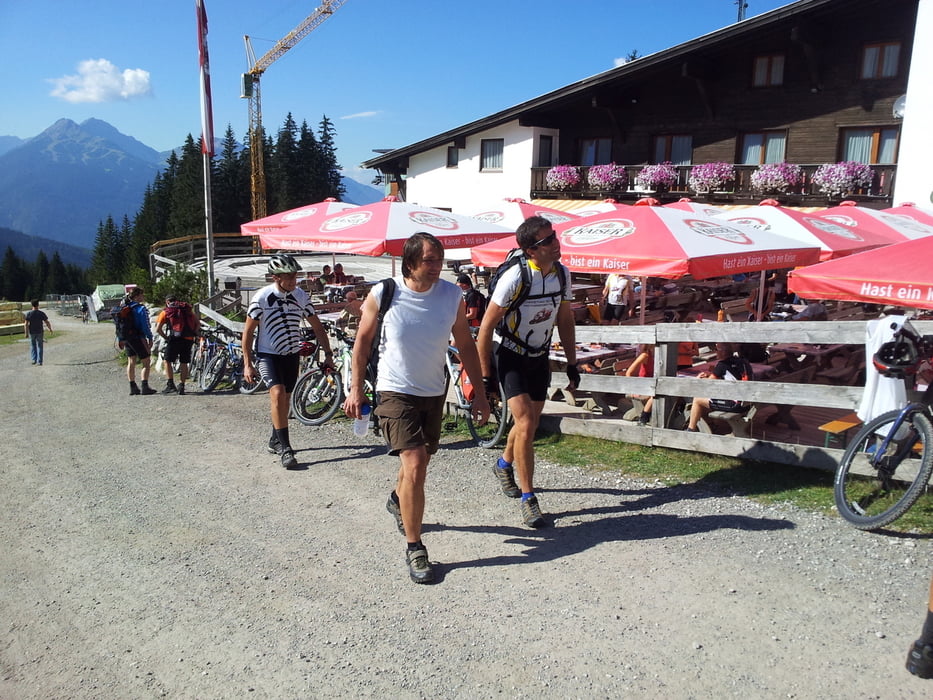
Start Skisprungschanze in Garmisch - über Grainau entlang am Bahngleis hoch zum Eibsee-
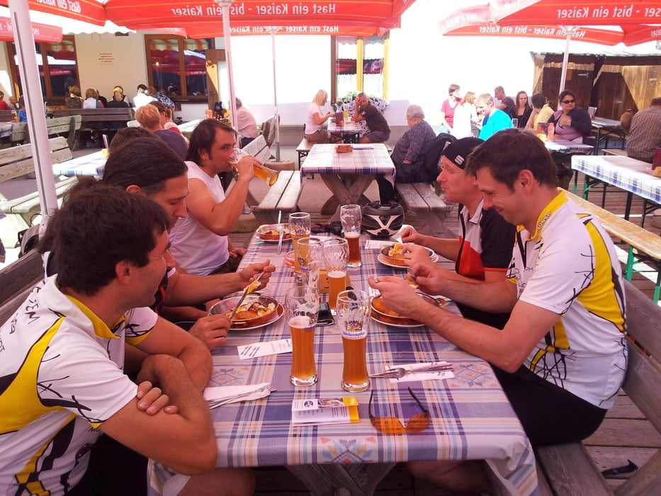
um den Eibsee weiter zur Hochtörle Hütte (Pause)- schnelle Abfahrt nach Ehrwald-
hoch zur Ehrwalder Alm (Pause)- durchs Gaistal nach Leutasch-
weiter Richtung Mittenwald- vorbei am Lautersee und Ferchensee Richtung Elmau zur Almwirtschaft Hintergraseck (Pause) -
steil runter zum Anfang der Partnachklamm zurück nach Garmisch
Highlights:
Peter K.: Erste Bergtour ...aus dem Stand mit Bravour bestanden!!
Fritz: Riss der Schweißnaht zwischen Sattelstrebe und Sattelrohr mit Kabelbinder gefixt und Tour durchgezogen ;-)
... schön wars mal wieder!!
Tour gallery
Tour map and elevation profile
Minimum height 712 m
Maximum height 1629 m
More about the tour author
|
|
asso |
Comments

GPS tracks
Trackpoints-
GPX / Garmin Map Source (gpx) download
-
TCX / Garmin Training Center® (tcx) download
-
CRS / Garmin Training Center® (crs) download
-
Google Earth (kml) download
-
G7ToWin (g7t) download
-
TTQV (trk) download
-
Overlay (ovl) download
-
Fugawi (txt) download
-
Kompass (DAV) Track (tk) download
-
Track data sheet (pdf) download
-
Original file of the author (gpx) download
More about the tour author
|
|
asso |
Add to my favorites
Remove from my favorites
Edit tags
Open track
My score
Rate