
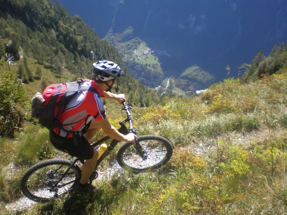

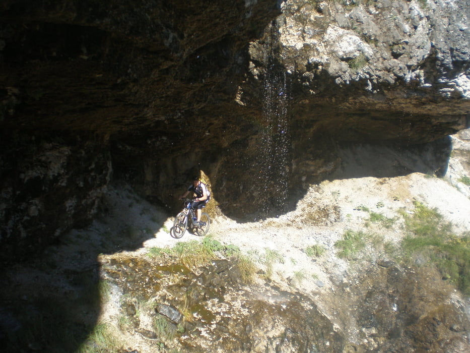
A beautiful, but extremely demanding tour which goes high under the valley of the Racolana river from Nevea pass to the Ciusaforte village. First third (to the crossing for Chaut Cali) is the best, in the second third (to the crossing for Patoc) is the most demanding, becouse the trail leads though four huge gorges, where the bike needs to be carried over. Teh same goes for many small gorges on the way. However you can ride more then 90% of the trail. The start of the last third is very beautifil, however there is one huge gorge. Downhill is extreme (S6) in the upper part unfluent, because the trail is destroyed on many places. The end is spectacular with crazy serpentins and steps, where you have a felling to fall on the highway. This part is pure S7.
Tour gallery
Tour map and elevation profile
Minimum height 390 m
Maximum height 1577 m
More about the tour author
|
|
DAMJAN |
Comments
GPS tracks
Trackpoints-
GPX / Garmin Map Source (gpx) download
-
TCX / Garmin Training Center® (tcx) download
-
CRS / Garmin Training Center® (crs) download
-
Google Earth (kml) download
-
G7ToWin (g7t) download
-
TTQV (trk) download
-
Overlay (ovl) download
-
Fugawi (txt) download
-
Kompass (DAV) Track (tk) download
-
Track data sheet (pdf) download
-
Original file of the author (gpx) download
More about the tour author
|
|
DAMJAN |
Add to my favorites
Remove from my favorites
Edit tags
Open track
My score
Rate
unfahrbar, lebensgefährlich
Leider wütete ein Waldbrand vor einiger Zeit in dieser Region. Der Wanderweg wird deswegen nicht mehr begangen und gepflegt. An vielen Stellen ist der Weg auch durch Erdrutsche verlegt oder weggerissen.
Aber auch im Originalzustand halte ich diese Tour für extrem gefährlich. Bei mehr als 30% der Wegstrecke endet ein Sturz tödlich. Ich finde es unverantwortlich so eine Strecke zu veröffentlichen ohne sie entsprechend zu beschreiben. Bitte lieber Autor nimm diese Tour vom Netz.