


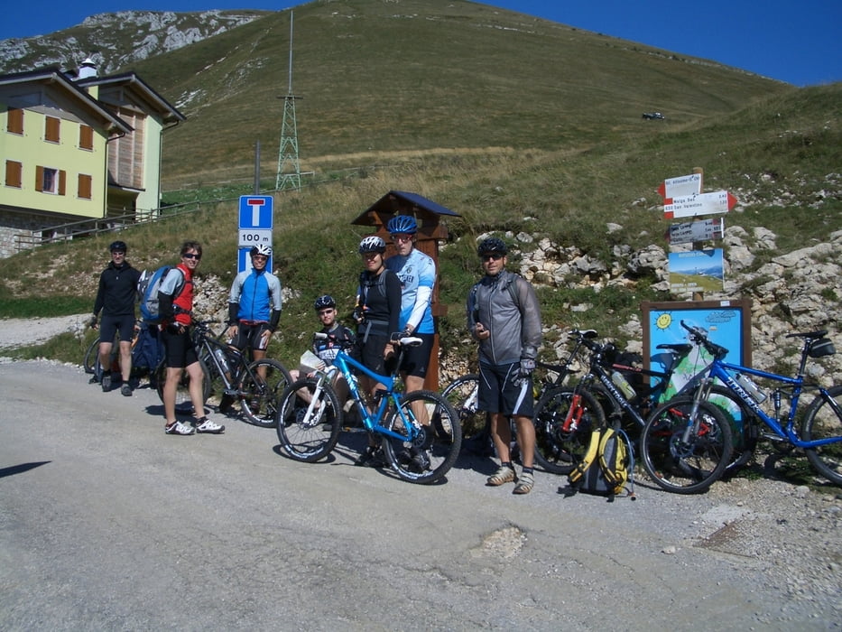
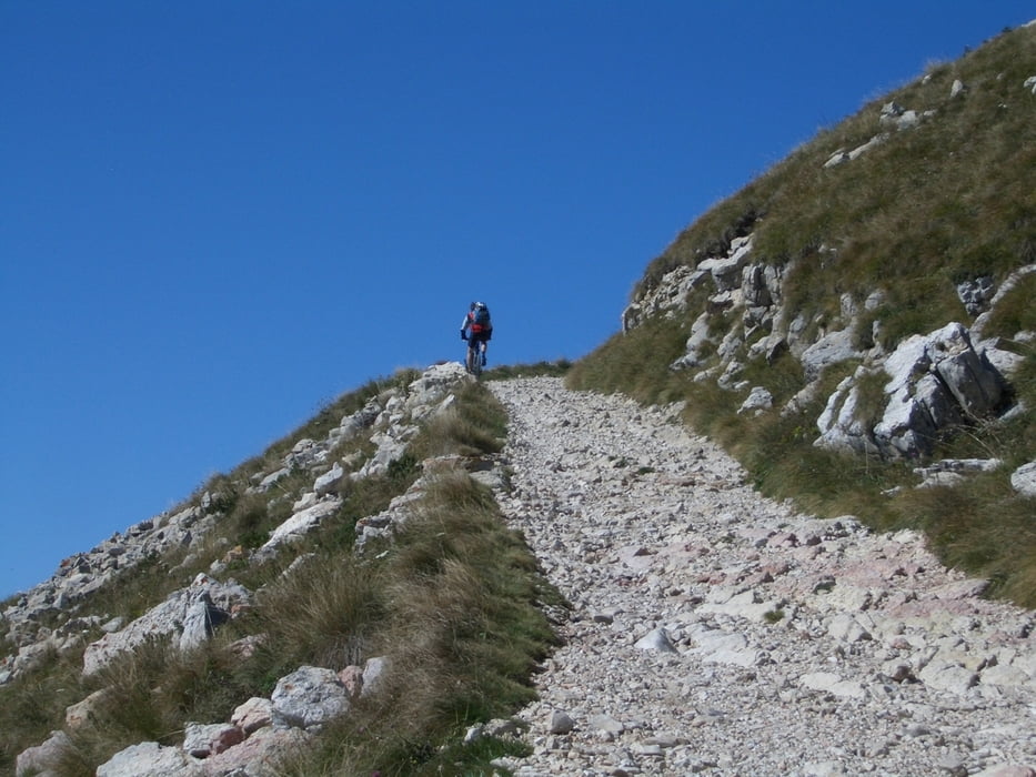
Tolle Tour mit Shuttle Dienst (oder Gondel wenn man sie erwischt..) ab Malcesine. Wenn mit der Gondel dann Abfahrt von der Monte Baldo Berstation runter zum Ausgangspunkt dieser Tour. In unserem Fall hat uns ein Shuttle Dienst von Malcesine auf die Hinterseite Monte Altissimo gebracht. Von dort sind etwa 600 Hm auf einer ziemlich anstrengenden Schotterstrasse bis zum Gipfel des Altissimo zu fahren. Danach Abfahrt vom Altissimo (es gibt hier mehrere Möglichkeiten - bitte erkundigen).
Tour gallery
Tour map and elevation profile
Minimum height 78 m
Maximum height 2077 m
More about the tour author

|
Tom_Steiermark |
Comments

GPS tracks
Trackpoints-
GPX / Garmin Map Source (gpx) download
-
TCX / Garmin Training Center® (tcx) download
-
CRS / Garmin Training Center® (crs) download
-
Google Earth (kml) download
-
G7ToWin (g7t) download
-
TTQV (trk) download
-
Overlay (ovl) download
-
Fugawi (txt) download
-
Kompass (DAV) Track (tk) download
-
Track data sheet (pdf) download
-
Original file of the author (gpx) download
More about the tour author
|
|
Tom_Steiermark |
Add to my favorites
Remove from my favorites
Edit tags
Open track
My score
Rate