


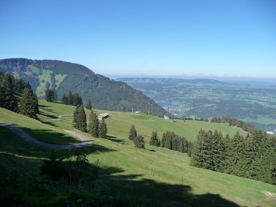
Eine lange schwere Biketour um das lange Massiv der Nagelfluhkette.
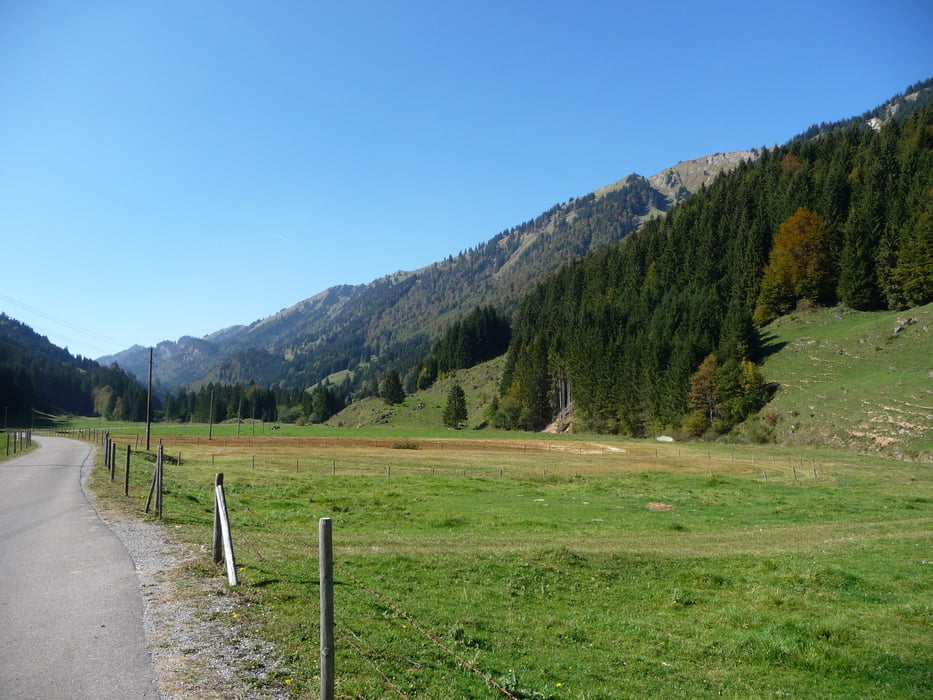
Lange teils steile Auffahrten zum Mittagsberg 20-27% ,zum Scheidwangpass,von Hittisau nach Ghf Hochhädrich zum Schluss noch 10km durchs schöne Weißachtal.
Tolle lange schöne Abfahrten vom Mittagsberg(steil teils verfallenen alten Karrenweg)Lange Abfahrt vom Scheidwangpass nach Hittisau.Vom Naturfreundehaus nach Immenstadt.
Kurze Trage/Schiebestrecke auf Wiesensteigen.
Viele Einkehrmöglichkeiten in Alpen. Ein Getränkeautomat ist an der Hochgratbahn Talstation.
Am besten vor Tourantritt warmfahren.
Ps.Die Tour führt zu 90% über Teerstraßen!Leider.
Further information at
http://www.naturpark-nagelfluhkette.info/Tour gallery


Tour map and elevation profile
Minimum height 726 m
Maximum height 1423 m
More about the tour author
|
|
Roland1978 |
Comments

Start ist im Immenstadt am Bahnhof rechts gegenüber Richtung Innenstadt.
Ein Kostenloser Parkplatz ist am Viehmarktplatz..(P3) folgen.
Zum Bahnhof braucht man dann nur ca.2min.
GPS tracks
Trackpoints-
GPX / Garmin Map Source (gpx) download
-
TCX / Garmin Training Center® (tcx) download
-
CRS / Garmin Training Center® (crs) download
-
Google Earth (kml) download
-
G7ToWin (g7t) download
-
TTQV (trk) download
-
Overlay (ovl) download
-
Fugawi (txt) download
-
Kompass (DAV) Track (tk) download
-
Track data sheet (pdf) download
-
Original file of the author (gpx) download
More about the tour author
|
|
Roland1978 |
Add to my favorites
Remove from my favorites
Edit tags
Open track
My score
Rate