Login

Forgot your login?

Cookies have to be accepted!
Your browser's cookie functionality is disabled. Please enable this functionality.

Not a member yet?

Register now
Login

Available for registred users only

Log in to use this feature.

Forgot your login?

Cookies have to be accepted!
Your browser's cookie functionality is disabled. Please enable this functionality.

Not a member yet?

Register now
Filter
Categories
Advanced filters
  • Distance (km)
  • Height
Save filters Reset filter

TrackRank

QRCode

Technical data

Distance8,3 km Height151 m Way down139 m Duration02:30 h:m Date05.10.2011
Scores Author Landscape Fun factor Fitness Technique

Statistics

238 Views Scores 10 Downloads Average
Rate
  • Track data sheet
  • Directions
  • Downloads

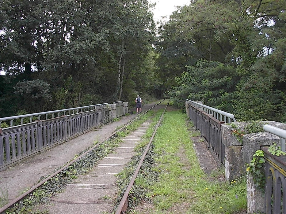
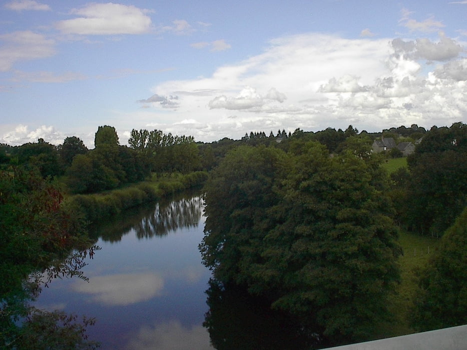
De wandeling  vertrekt aan de camping van Ambrières. Over de vlotbrug  en richting samenvloeiing stappen.  Naar de volgende vlotbrug en verder de rivier volgen. Daarna naar de spoorweg en deze blijven volgen tot het einde van het " velorail" traject. Van daar terug naar het beginpunt.


Tour gallery

Tour map and elevation profile

  • Open Street Map
  • Google
Minimum height 71 m Maximum height 148 m Detailed view

More about the tour author

jefhoremans
Member since 2008

Send private message

Comments

GPS tracks

Trackpoints
  • GPX / Garmin Map Source (gpx) download
  • TCX / Garmin Training Center® (tcx) download
  • CRS / Garmin Training Center® (crs) download
  • Google Earth (kml) download
  • G7ToWin (g7t) download
  • TTQV (trk) download
  • Overlay (ovl) download
  • Fugawi (txt) download
  • Kompass (DAV) Track (tk) download
  • Track data sheet (pdf) download
  • Original file of the author (gpx) download

More about the tour author

jefhoremans
Member since 2008

Send private message
Share track
Add to my favorites
Remove from my favorites
Edit tags
My score
Rate
Track: Langs de rivier en de oude spoorweg
Type: Hiking
Distance: 8,3 km
Evaluated on:
Duration:
Day(s)
Hour(s)
Minute(s)
Score: Landscape Fun factor Fitness Technique