Login

Forgot your login?

Cookies have to be accepted!
Your browser's cookie functionality is disabled. Please enable this functionality.

Not a member yet?

Register now
Login

Available for registred users only

Log in to use this feature.

Forgot your login?

Cookies have to be accepted!
Your browser's cookie functionality is disabled. Please enable this functionality.

Not a member yet?

Register now
Filter
Categories
Advanced filters
  • Distance (km)
  • Height
Save filters Reset filter

TrackRank

QRCode

Technical data

Distance13,9 km Height464 m Way down482 m Duration02:30 h:m Date05.10.2011
Scores Author Landscape Fun factor Fitness Technique

Statistics

156 Views Scores 17 Downloads Average
Rate
  • Track data sheet
  • Directions
  • Downloads

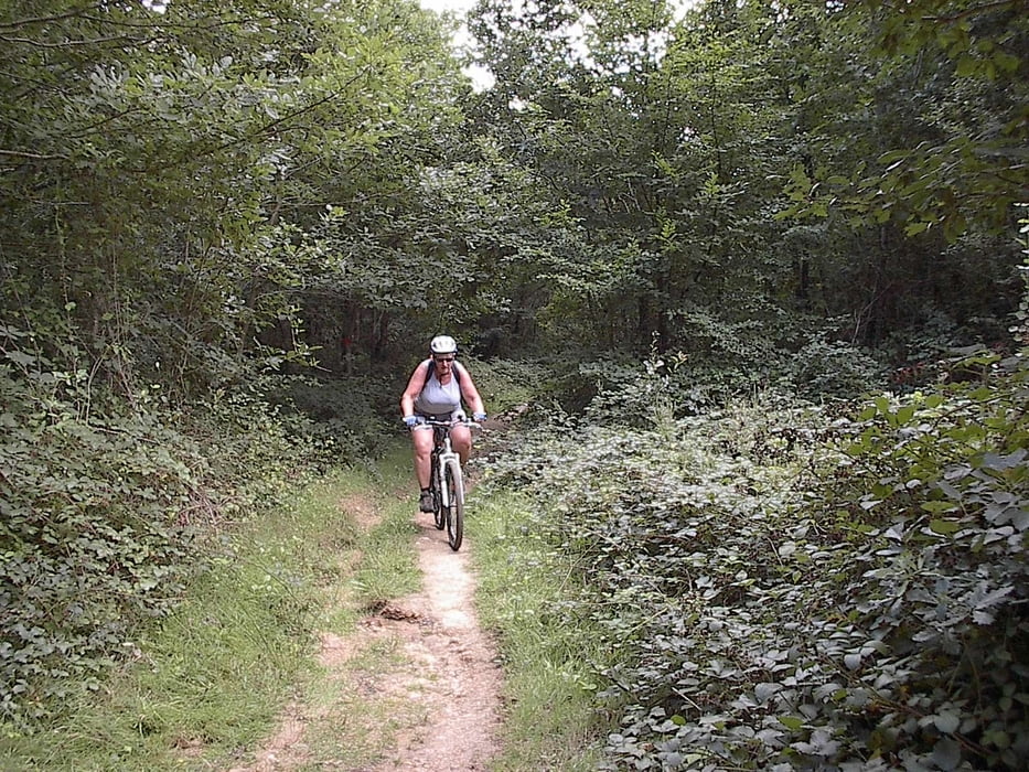
Dit is een bewegwijzerde vtt-route. Startmogelijkheid aan de sporthal van La Chapelle Montligeon of ergens aan de D 213 of aan de camping. Leuke tocht met veel afwisseling.


Tour gallery

Tour map and elevation profile

  • Open Street Map
  • Google
Minimum height 127 m Maximum height 311 m Detailed view

More about the tour author

jefhoremans
Member since 2008

Send private message

Comments

GPS tracks

Trackpoints
  • GPX / Garmin Map Source (gpx) download
  • TCX / Garmin Training Center® (tcx) download
  • CRS / Garmin Training Center® (crs) download
  • Google Earth (kml) download
  • G7ToWin (g7t) download
  • TTQV (trk) download
  • Overlay (ovl) download
  • Fugawi (txt) download
  • Kompass (DAV) Track (tk) download
  • Track data sheet (pdf) download
  • Original file of the author (gpx) download

More about the tour author

jefhoremans
Member since 2008

Send private message
Share track
Add to my favorites
Remove from my favorites
Edit tags
My score
Rate
Track: Toer van La Chapelle Monligeon
Type: Mountain bike
Distance: 13,9 km
Evaluated on:
Duration:
Day(s)
Hour(s)
Minute(s)
Score: Landscape Fun factor Fitness Technique