


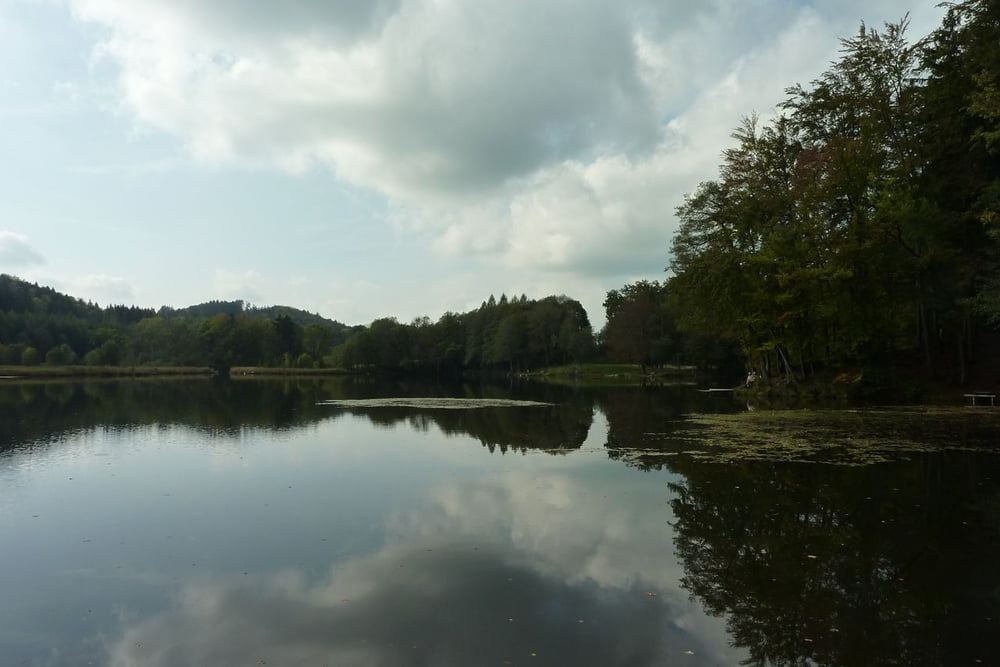
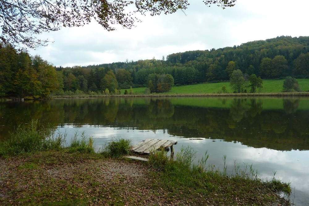
Sehr nette Herbstwanderung, zumeist über offenes Gelände, um die letzten Sonnenstrahlen des Jahres zu genießen. Für Mutige bietet sich noch ein spätes Bad im warmen Waldweiher an.
Die Zeitangaben in meinem Track sagen nicht viel aus. Wir haben für die Runde 4 Stunden gebraucht, haben aber unterwegs Walnüsse gesammelt und am Waldweiher die Sonne genossen. Bei normalem Tempo sollte der Weg in 2,5 bis 3 Stunden zu machen sein.
Tour gallery

Tour map and elevation profile
Minimum height 665 m
Maximum height 745 m
More about the tour author

|
RolandTaufkirchen |
Comments

Wallfahrtskirche St. Leonhard an der Straße St 2368 (Endlhausen-Dietramszell)
GPS tracks
Trackpoints-
GPX / Garmin Map Source (gpx) download
-
TCX / Garmin Training Center® (tcx) download
-
CRS / Garmin Training Center® (crs) download
-
Google Earth (kml) download
-
G7ToWin (g7t) download
-
TTQV (trk) download
-
Overlay (ovl) download
-
Fugawi (txt) download
-
Kompass (DAV) Track (tk) download
-
Track data sheet (pdf) download
-
Original file of the author (gpx) download
More about the tour author
|
|
RolandTaufkirchen |
Add to my favorites
Remove from my favorites
Edit tags
Open track
My score
Rate