


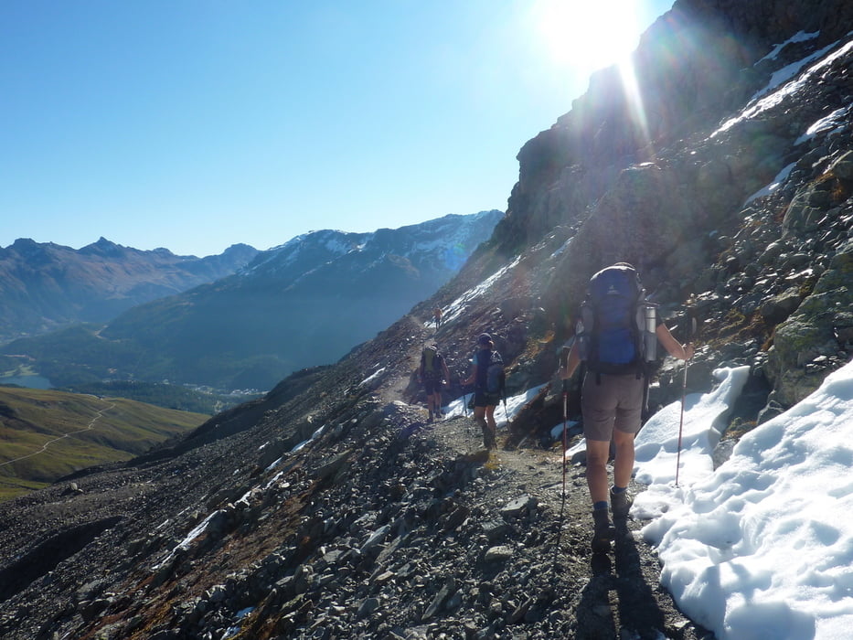
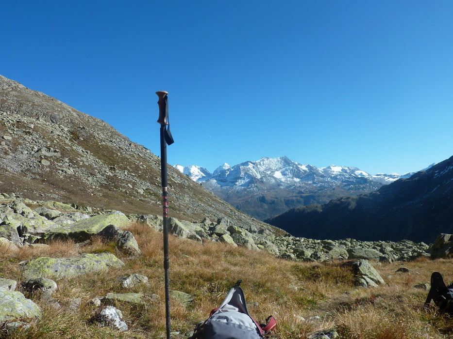
Von Champfer (Parkplatz gleich an der Hauptstraße) über die Alp Sulvretta bis zur Biwak Hütte der beiden die den Weg gesichert haben. Dann weiter auf dem Weg Richtung Gipfel auf teilweise ausgesetztem Grad zum Gipfel auf 3380M.ü..
Abstieg bis zum Biwak auf gleichem Weg dann über ein Schuttfeld Richtung Pass Julier über sehr grobes Blockgelände.
Autos haben wir zu Beginn der Tour verteilt.
Further information at
http://www.hikr.org/dir/Piz_G%C3%BCglia_Piz_Julier_2344/Tour gallery


Tour map and elevation profile
Minimum height 1798 m
Maximum height 3382 m
More about the tour author
|
|
markus-w |
Comments

St. Moritz - Champfer
GPS tracks
Trackpoints-
GPX / Garmin Map Source (gpx) download
-
TCX / Garmin Training Center® (tcx) download
-
CRS / Garmin Training Center® (crs) download
-
Google Earth (kml) download
-
G7ToWin (g7t) download
-
TTQV (trk) download
-
Overlay (ovl) download
-
Fugawi (txt) download
-
Kompass (DAV) Track (tk) download
-
Track data sheet (pdf) download
-
Original file of the author (gpx) download
More about the tour author
|
|
markus-w |
Add to my favorites
Remove from my favorites
Edit tags
Open track
My score
Rate