Login

Forgot your login?

Cookies have to be accepted!
Your browser's cookie functionality is disabled. Please enable this functionality.

Not a member yet?

Register now
Login

Available for registred users only

Log in to use this feature.

Forgot your login?

Cookies have to be accepted!
Your browser's cookie functionality is disabled. Please enable this functionality.

Not a member yet?

Register now
Filter
Categories
Advanced filters
  • Distance (km)
  • Height
Save filters Reset filter

TrackRank

QRCode

Technical data

Distance35,9 km Height1144 m Way down1091 m Duration05:00 h:m Date06.10.2011
Scores Author User Landscape Fun factor Fitness Technique

Statistics

1074 Views 3 Scores 229 Downloads 3.33 Average
Rate
  • Track data sheet
  • Directions
  • Downloads

schön fahrbare Auffahrt zuerst auf Teer dann Schotter zur Riesenalm (Tschüß freie Zone).

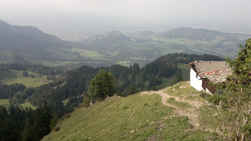
Wunderschönder Trail dem Hang entlang

Abstecher zum Samerberg Trail

auf Asphalt zurück

Tour map and elevation profile

  • Open Street Map
  • Google
Minimum height 567 m Maximum height 1431 m Detailed view

More about the tour author

NitramH
Member since 2009

Send private message

Comments

Malbec on 01.11.2013

Schöne Herbsttour

Uns hat die Tour sehr gut gefallen. Gut fahrbare Anstiege, schöne Landschaft und ein schöner Trail herunter.
tpd85 on 11.06.2017

Abfahrt

Erste Hälfte der Abfahrt ist weitestgehend in Ordnung und macht zum größten Teil Spaß. Allerdings sind zwischen drin immer wieder Betonpisten.
Der zweite Teil ist wirklich Asphalt zurück. Man macht viel wertvolle Höhenmeter auf Asphalt kaputt. Erwähnen sollte man, dass zudem geht ein kleiner Teil durch einen Bikepark geht. Das Fahren zwischen den Helden mit den Motorradhelmen macht keinen Spaß.
tpd85 on 11.06.2017

Ausgangspunkt

Als Ausgangspunkt empfehle ich eher Frasdorf. Sonst muss nur noch weiter an der Straße gefahren werden.

GPS tracks

Trackpoints
  • GPX / Garmin Map Source (gpx) download
  • TCX / Garmin Training Center® (tcx) download
  • CRS / Garmin Training Center® (crs) download
  • Google Earth (kml) download
  • G7ToWin (g7t) download
  • TTQV (trk) download
  • Overlay (ovl) download
  • Fugawi (txt) download
  • Kompass (DAV) Track (tk) download
  • Track data sheet (pdf) download
  • Original file of the author (gpx) download

More about the tour author

NitramH
Member since 2009

Send private message
Share track
Add to my favorites
Remove from my favorites
Edit tags
My score
Rate
Track: Hochries
Type: Mountain bike
Distance: 35,9 km
Evaluated on:
Duration:
Day(s)
Hour(s)
Minute(s)
Score: Landscape Fun factor Fitness Technique