Login

Forgot your login?

Cookies have to be accepted!
Your browser's cookie functionality is disabled. Please enable this functionality.

Not a member yet?

Register now
Login

Available for registred users only

Log in to use this feature.

Forgot your login?

Cookies have to be accepted!
Your browser's cookie functionality is disabled. Please enable this functionality.

Not a member yet?

Register now
Filter
Categories
Advanced filters
  • Distance (km)
  • Height
Save filters Reset filter

TrackRank

QRCode

Technical data

Distance14,6 km Height360 m Way down360 m Duration03:50 h:m Date09.10.2011
Scores Author User Landscape Fun factor Fitness Technique

Statistics

295 Views 1 Score 20 Downloads 4.00 Average
Rate
  • Track data sheet
  • Directions
  • Downloads
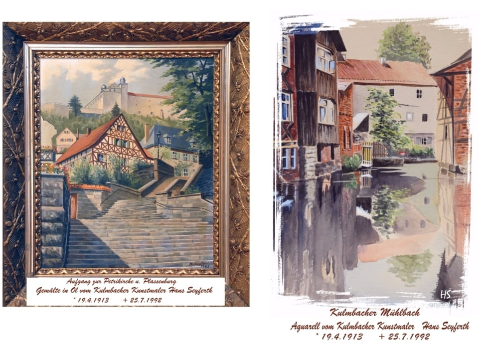
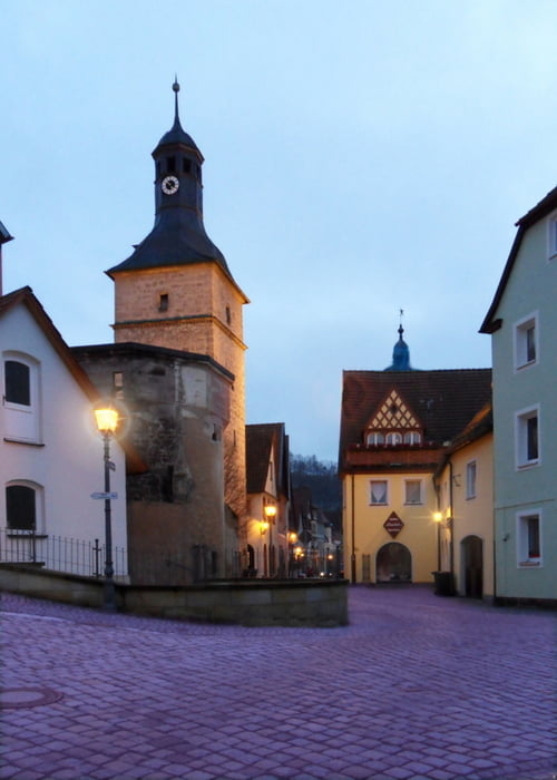
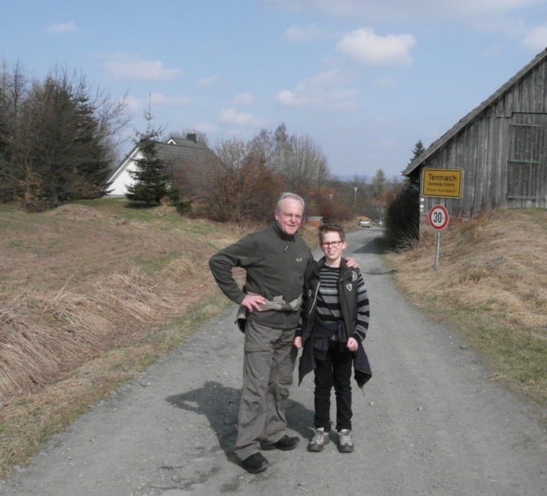
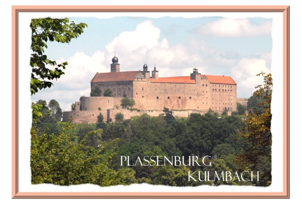
von Kulmbach (Grünwehr) über Fölschnitz, Ebersbach, Listenberg, Tierheim, Tennach (Einkehr-Rangabauern), über Buchwald, Plassenburg zurück zum Grünwehr.

Tour gallery

Tour map and elevation profile

  • Open Street Map
  • Google
Minimum height 306 m Maximum height 499 m Detailed view

More about the tour author

seyferth
Member since 2011

Send private message

Comments

GPS tracks

Trackpoints
  • GPX / Garmin Map Source (gpx) download
  • TCX / Garmin Training Center® (tcx) download
  • CRS / Garmin Training Center® (crs) download
  • Google Earth (kml) download
  • G7ToWin (g7t) download
  • TTQV (trk) download
  • Overlay (ovl) download
  • Fugawi (txt) download
  • Kompass (DAV) Track (tk) download
  • Track data sheet (pdf) download
  • Original file of the author (gpx) download

More about the tour author

seyferth
Member since 2011

Send private message
Share track
Add to my favorites
Remove from my favorites
Edit tags
My score
Rate
Track: Kulmbach-Tennach
Type: Hiking
Distance: 14,6 km
Evaluated on:
Duration:
Day(s)
Hour(s)
Minute(s)
Score: Landscape Fun factor Fitness Technique