


Kleine feine Trailrunde um den Kalterer& Montigglerseen
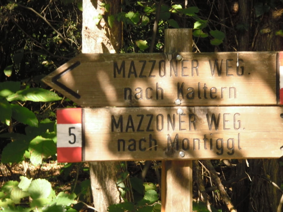
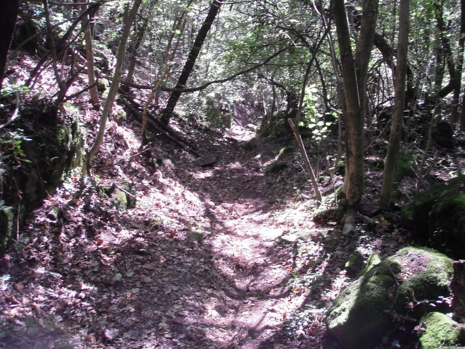
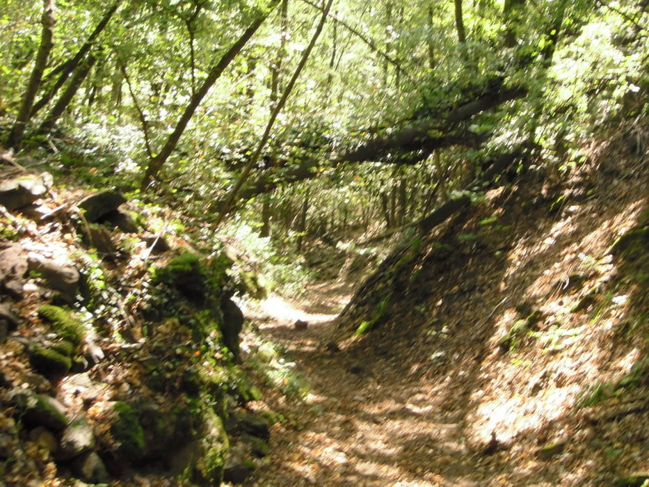
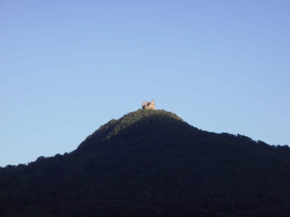
Start in Tramin richtung Kalterersee,rauf zu den großen Montigglersee und weiter zum kleinen den man umrundet und das meist auf leichte Trails oder Forststraßen.ca 250hmt Uphill ab den großen Montigglersee.Am höchsten Punkt beginnt ein schöner Singletrail S0-S1 Richtung Leuchtenburg runter.Am Ufer angekommen geht mein Track zum Strandbad auf der gegenüberliegnde Seite.Sonst bitte ab Seestraße dem Anfahrtsweg wieder retour nach Tramin.
Tour gallery
Tour map and elevation profile
Minimum height 218 m
Maximum height 610 m
More about the tour author
|
|
josef_zinganel |
Comments

GPS tracks
Trackpoints-
GPX / Garmin Map Source (gpx) download
-
TCX / Garmin Training Center® (tcx) download
-
CRS / Garmin Training Center® (crs) download
-
Google Earth (kml) download
-
G7ToWin (g7t) download
-
TTQV (trk) download
-
Overlay (ovl) download
-
Fugawi (txt) download
-
Kompass (DAV) Track (tk) download
-
Track data sheet (pdf) download
-
Original file of the author (gpx) download
More about the tour author
|
|
josef_zinganel |
Add to my favorites
Remove from my favorites
Edit tags
Open track
My score
Rate