


Startpunkt: Camping Torre di Chia
Wir sind die Tour mit den Mountainbikes gefahren, ist jedoch, da ausschließlich geteerte Straßen, für Rennräder noch besser geeignet.
Wir sind die Tour gegen den Uhrzeigersinn gefahren.
Chia-Domus de Maria-Teulada und anschließend an der Costa del Sud entlang wieder zurück.
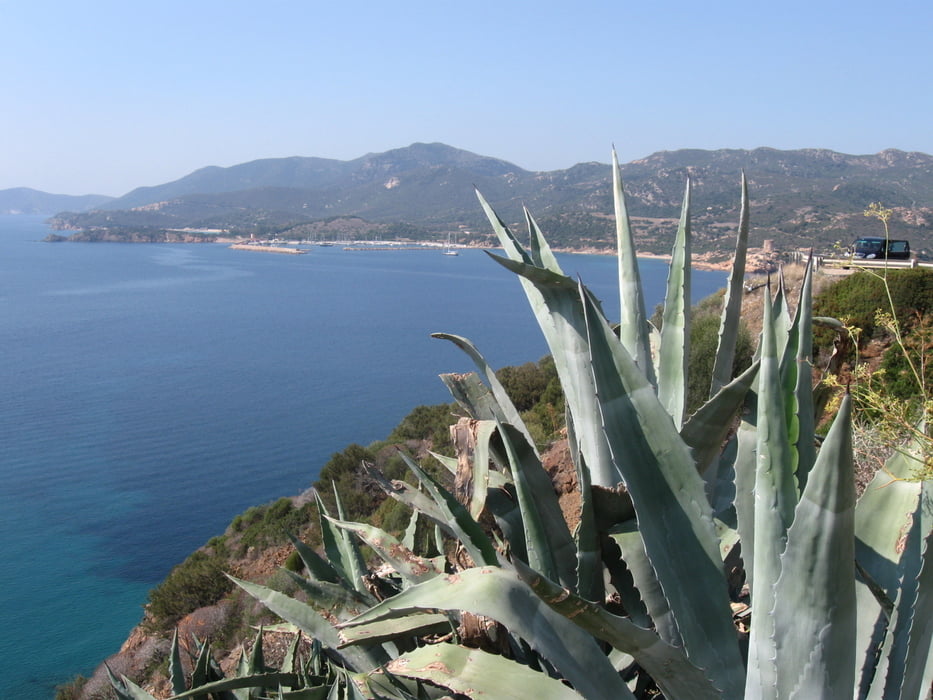
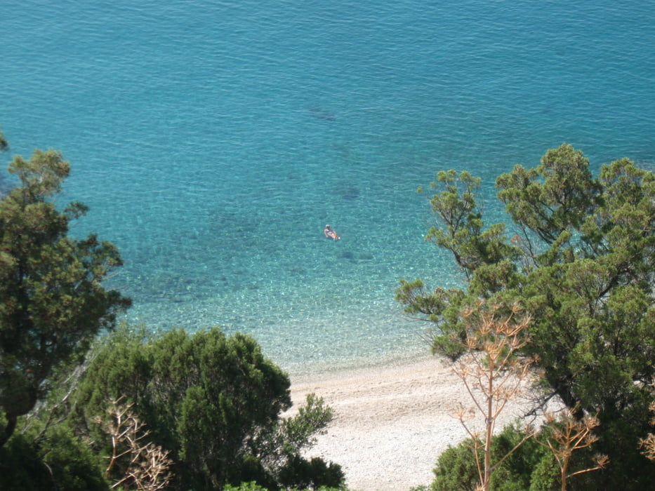
Speziell der Teil an der Küste ist phantastisch. Die Blicke auf´s Meer sind herausragend.
Viel Spass
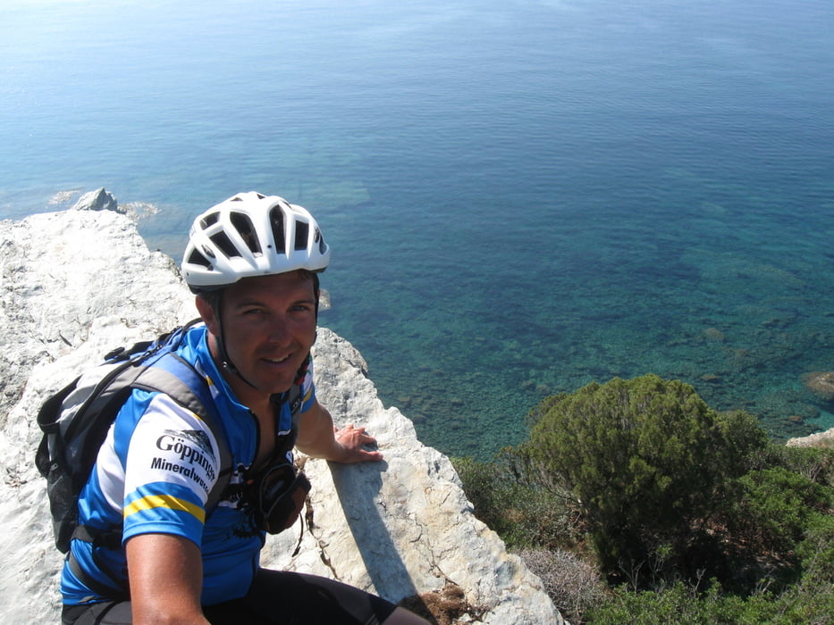
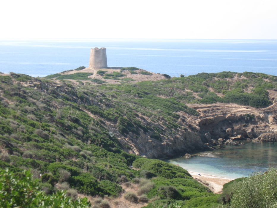
Tour gallery
Tour map and elevation profile
Minimum height 13 m
Maximum height 303 m
More about the tour author
|
|
Vogge |
Comments

GPS tracks
Trackpoints-
GPX / Garmin Map Source (gpx) download
-
TCX / Garmin Training Center® (tcx) download
-
CRS / Garmin Training Center® (crs) download
-
Google Earth (kml) download
-
G7ToWin (g7t) download
-
TTQV (trk) download
-
Overlay (ovl) download
-
Fugawi (txt) download
-
Kompass (DAV) Track (tk) download
-
Track data sheet (pdf) download
-
Original file of the author (gpx) download
More about the tour author
|
|
Vogge |
Add to my favorites
Remove from my favorites
Edit tags
Open track
My score
Rate