Login

Forgot your login?

Cookies have to be accepted!
Your browser's cookie functionality is disabled. Please enable this functionality.

Not a member yet?

Register now
Login

Available for registred users only

Log in to use this feature.

Forgot your login?

Cookies have to be accepted!
Your browser's cookie functionality is disabled. Please enable this functionality.

Not a member yet?

Register now
Filter
Categories
Advanced filters
  • Distance (km)
  • Height
Save filters Reset filter

TrackRank

QRCode

Technical data

Distance75,9 km Height3624 m Way down3556 m Duration2 days 0 h Date13.10.2011
Scores Author Landscape Fun factor Fitness Technique

Statistics

765 Views Scores 78 Downloads Average
Rate
  • Track data sheet
  • Directions
  • Downloads

Details s. http://www.bergtour.ch/gipfelbuch/detail/id/50883

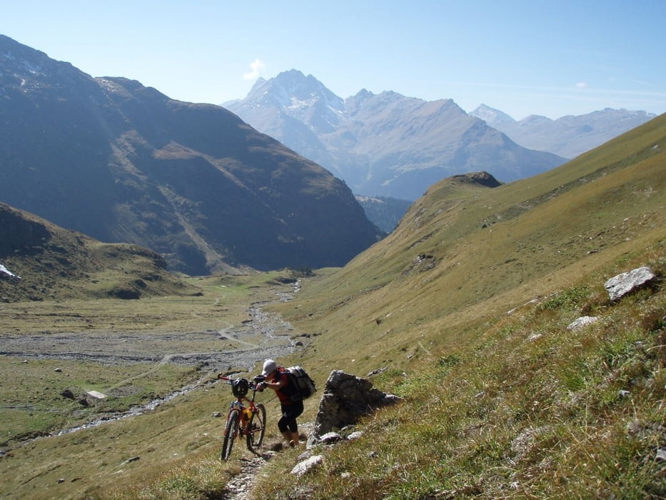
 Bitte höchste Rücksicht auf Wanderer, besonders im Bereich zwischen Alp Veglia - Lai Grond - Pass d'Ela - Cham. Ela

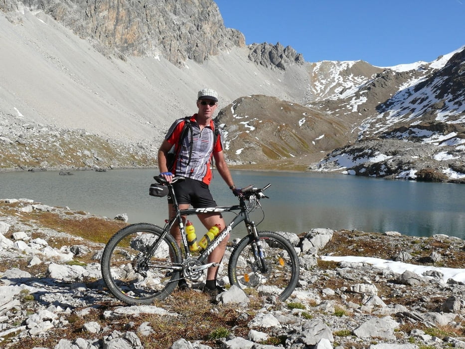
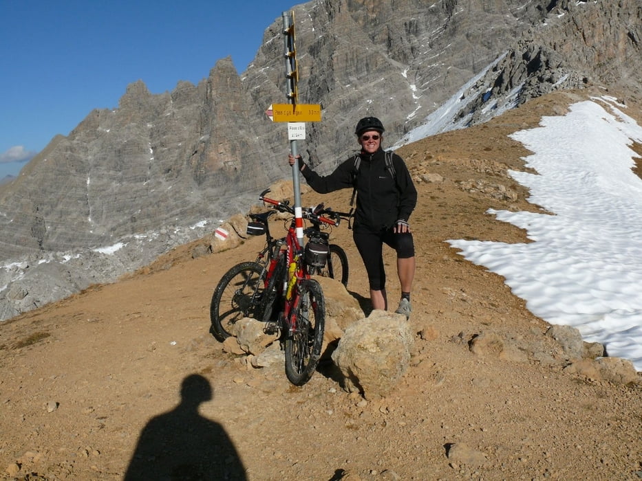
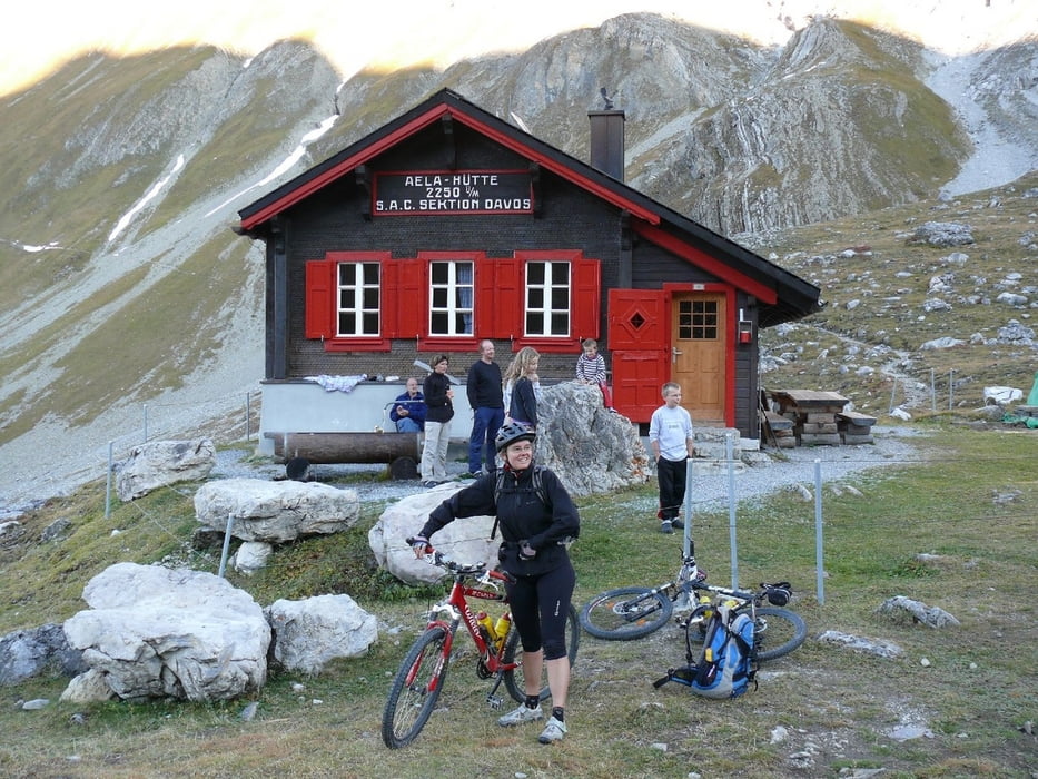
Geradelt am 02./03.10.11

Tour gallery

Tour map and elevation profile

  • Open Street Map
  • Google
Minimum height 849 m Maximum height 2725 m Detailed view

More about the tour author

jokermanex
Member since 2008

Send private message

Comments

Parkplatz bei Tiefencastel

GPS tracks

Trackpoints
  • GPX / Garmin Map Source (gpx) download
  • TCX / Garmin Training Center® (tcx) download
  • CRS / Garmin Training Center® (crs) download
  • Google Earth (kml) download
  • G7ToWin (g7t) download
  • TTQV (trk) download
  • Overlay (ovl) download
  • Fugawi (txt) download
  • Kompass (DAV) Track (tk) download
  • Track data sheet (pdf) download
  • Original file of the author (gpx) download

More about the tour author

jokermanex
Member since 2008

Send private message
Share track
Add to my favorites
Remove from my favorites
Edit tags
My score
Rate
Track: Umrundung Piz Mitgel - Park Ela
Type: Mountain bike
Distance: 75,9 km
Evaluated on:
Duration:
Day(s)
Hour(s)
Minute(s)
Score: Landscape Fun factor Fitness Technique